

Þingvellir National Park
Þingvellir is the most historically significant place in Iceland, and one of the most geologically unusual places on the planet. It sits in a rift valley where the North American and Eurasian tectonic plates are slowly pulling apart, and it also happens to be where Icelanders established the world's oldest surviving parliament in 930 AD. For a single national park, that is quite a combination.
The park covers around 240 square kilometres in southwest Iceland, about 48 km (30 miles) from Reykjavík along Route 36. It is the first stop on the Golden Circle route, and it is consistently the part of that route that visitors say left the strongest impression on them. That is largely because there is nothing quite like standing in the Almannagjá rift and understanding, with your own eyes, what it means for two continents to be slowly separating beneath your feet.
The Alþingi and Lögberg
In 930 AD, Viking settlers from across Iceland agreed to meet annually in this valley to establish laws, settle disputes, and govern the new society they had built. The gathering became the Alþingi, and it continued at Þingvellir for more than 800 years. The Lawspeaker stood at Lögberg, the Law Rock, and recited the legal code from memory to the assembled crowd. The natural acoustics of the rift valley helped carry his voice across the site.
Several of Iceland's most significant moments took place at Þingvellir. Christianity was adopted as Iceland's official religion here in the year 1000, a decision made by parliamentary vote rather than force. In 1944, with the Second World War still ongoing, Icelanders gathered at Þingvellir to declare independence from Denmark and restore the republic. The site carries that weight in a way that is hard to describe and easy to feel when you are standing there.
Today the Alþingi operates from Reykjavík, but Þingvellir remains a protected national park and UNESCO World Heritage Site. Interpretive signs throughout the park explain how the parliament functioned and what life in medieval Iceland was actually like.
The Mid-Atlantic Rift
The Almannagjá gorge is the visible edge of the North American tectonic plate, and the Heiðargjá fissure on the other side of the valley marks the edge of the Eurasian plate. The two are moving apart at roughly 2 centimetres per year, and the valley floor between them is slowly sinking as a result. Walking through Almannagjá means walking between continents in the most literal sense possible.
The rift also explains why the park looks the way it does: the dramatic basalt cliff faces, the long straight fissures cutting through the lava fields, the crystal-clear springs that emerge from underground aquifers where water has filtered through volcanic rock for decades. The Silfra fissure is the most famous of these, filled with glacial meltwater that achieves visibility of over 100 metres. It is one of the world's top snorkelling and diving sites, and you can book a Silfra snorkelling tour from Reykjavík through our day tours.
Lake Þingvallavatn and Öxarárfoss
Þingvallavatn is the largest natural lake in Iceland at 84 square kilometres. It was formed and is maintained by the same tectonic activity that created the rift valley, fed by cold springs filtered through underground lava. The lake supports populations of Arctic char that have evolved in isolation for thousands of years and are larger than their European mainland equivalents. It is a popular fishing destination in summer, but check the regulations before you cast.
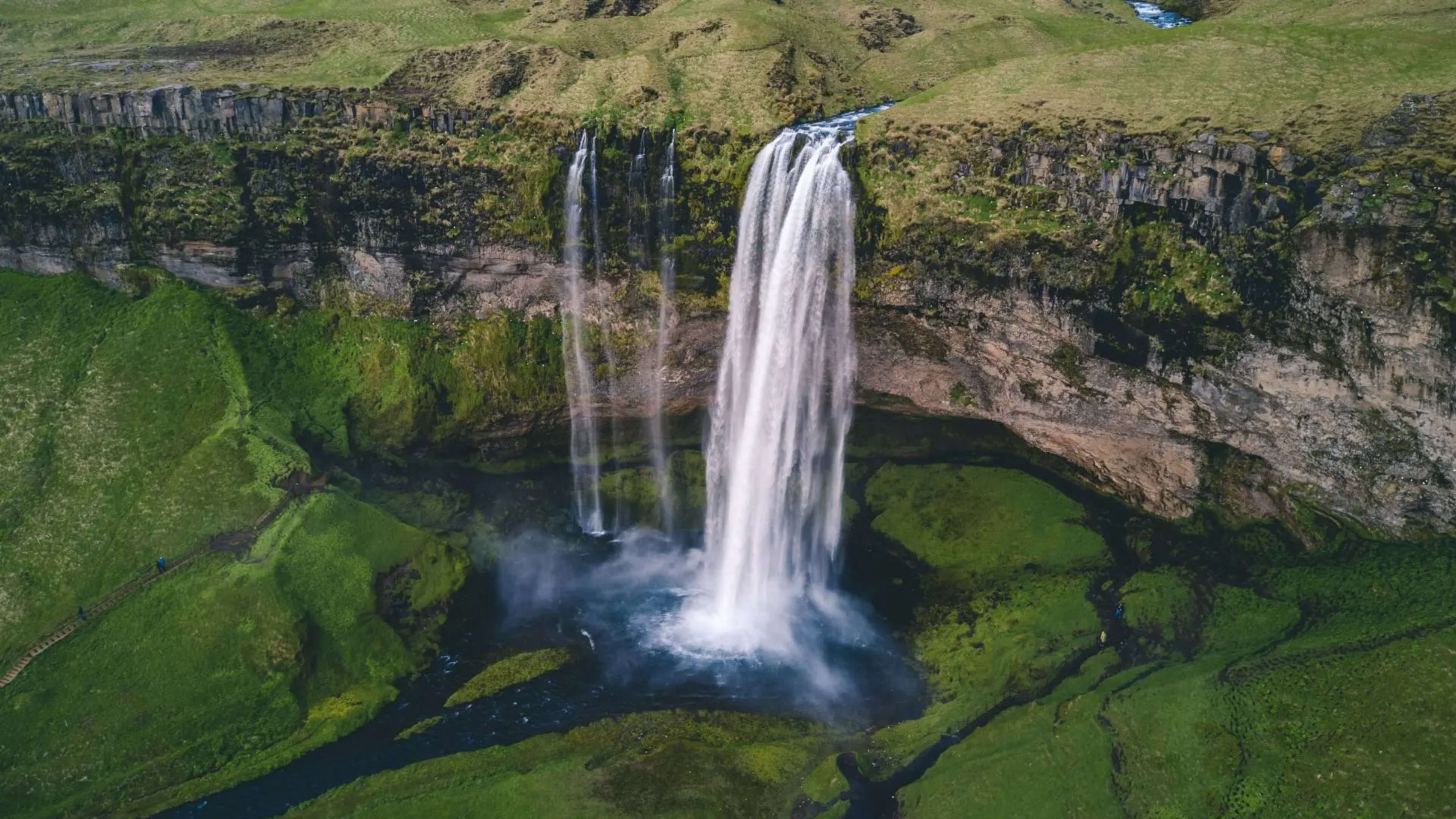
Öxarárfoss is an easy walk from the main parking areas and well worth the short detour. The waterfall drops through the Almannagjá gorge and freezes into dramatic ice formations in winter. In summer it is surrounded by wildflowers and the moss that makes the whole park glow green in good light.
Þingvellir Church and the Surrounding Area
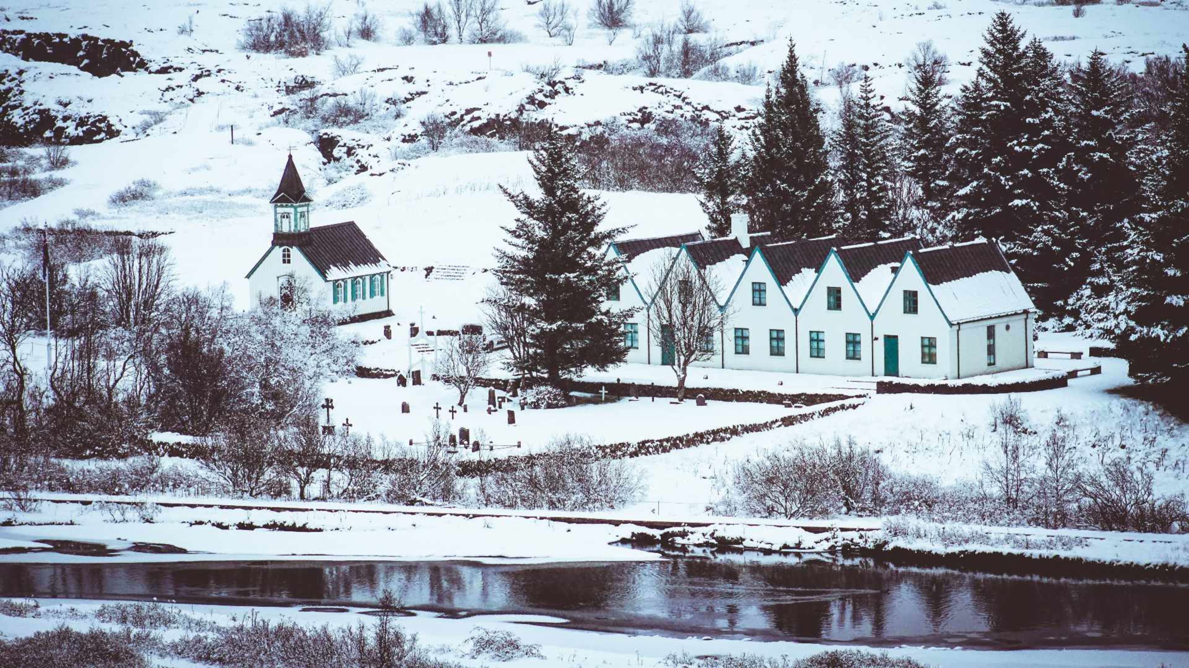
The small Þingvellir church dates from the 19th century and sits near the site of the original parliamentary meetings. It is not normally open to visitors but is a good subject for photographs, particularly in autumn when the surrounding birch trees turn yellow and orange. The area around the church contains the graves of two Icelandic poets, adding another layer to a site already thick with history.
The wider park is home to Arctic fox, mink, and over 50 bird species. In summer the birdlife is particularly active around the lake shore and river. There are also two horse riding trails in the park for those who want to experience the landscape from the back of an Icelandic horse.
Walking at Þingvellir
The main trails are well maintained and accessible to most visitors. The walk through Almannagjá takes around 45 minutes at a comfortable pace and gives you the full experience of the rift. The path to Öxarárfoss adds another 30 minutes. The viewpoint at Hakið above the gorge is a short but steep climb that rewards you with a panoramic view over the whole valley and lake. Allow two hours if you want to cover the main sites properly, or a full day if you plan to fish, snorkel, or ride.
Stick to the marked paths throughout the park. The moss on the lava rock is fragile and damaged when walked on, and some areas have hidden fissures and unstable ground. The park receives over a million visitors a year, and staying on the paths is what keeps it looking the way it does.
Getting to Þingvellir
The easiest way to reach Þingvellir is by car. From Reykjavík take Route 1 north and then turn onto Route 36 heading east. The park is well signposted and the road is kept clear year round. The drive takes about 45 minutes. Parking is paid and available at multiple locations around the park.
Þingvellir is the first stop on the Golden Circle route, which continues east to the Geysir geothermal area and Gullfoss waterfall before returning to the capital. It features on most of our multi-day self-drive and guided group tours, and it also forms day one or two of most Ring Road itineraries. If you want the flexibility to spend more time here, a self-drive tour lets you set your own pace.