


About Vatnajökull National Park
Vatnajökull National Park covers roughly 14% of Iceland, making it one of the largest national parks in Europe. It was established in 2008, bringing together the former Skaftafell and Jökulsárgljúfur national parks under a single protected area centred on the Vatnajökull ice cap -- the largest glacier in Europe by volume.
The park stretches across southeast and northeast Iceland, taking in a landscape of glaciers, outlet glacier tongues, glacier lagoons, river canyons, waterfalls, and active volcanic systems. The name Vatnajökull translates roughly as "glacier of lakes," reflecting the many rivers, pools, and glacier lagoons that feed from the ice.
The glacier
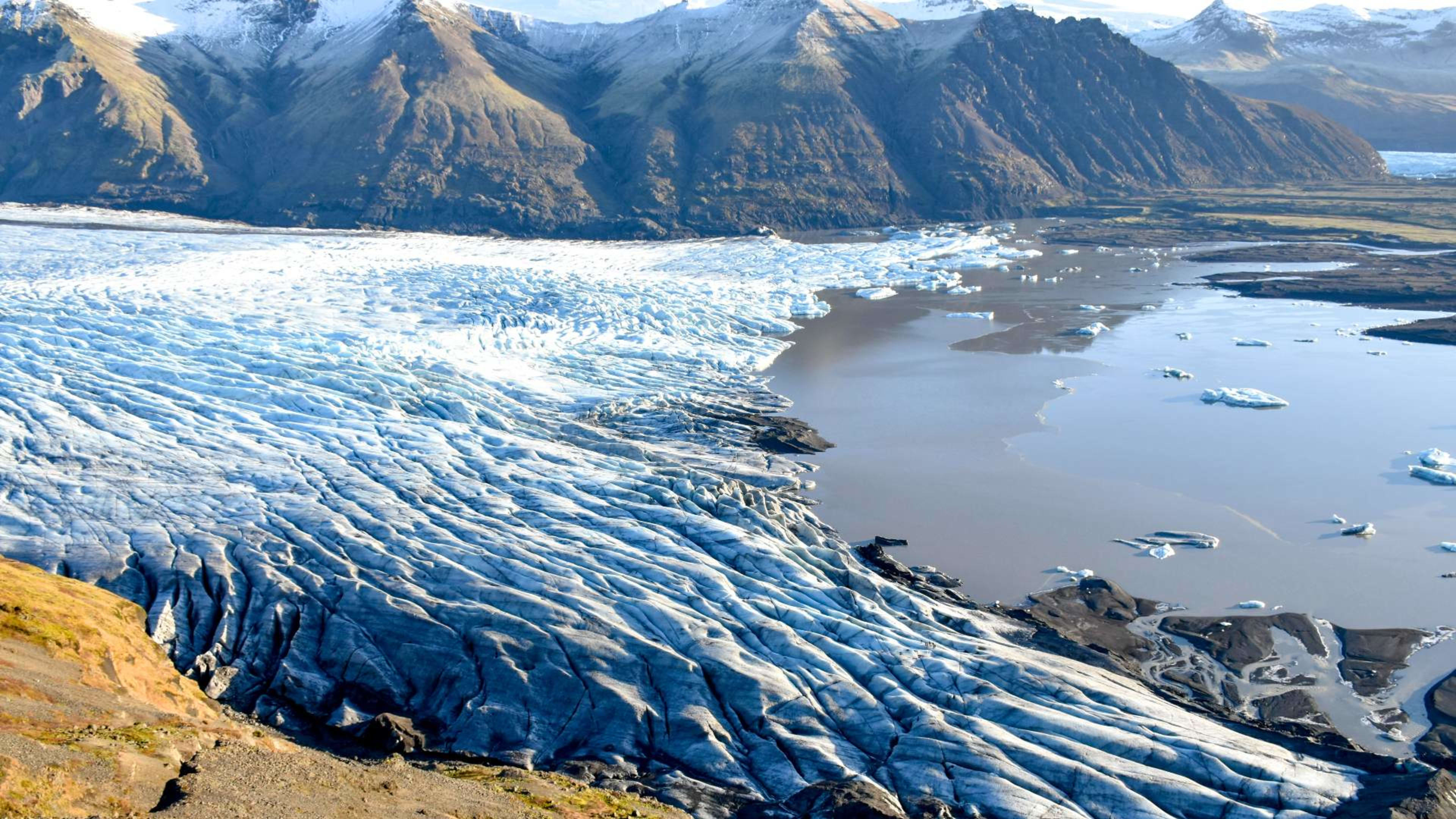
The Vatnajökull ice cap covers around 7,900 square kilometres -- about 8% of Iceland's total land area. The ice averages 380 metres thick and reaches almost 1,000 metres in places. More than 30 outlet glaciers flow down from the main ice cap into the surrounding valleys, and it is these outlets -- Breiðamerkurjökull, Svínafellsjökull, Skaftafellsjökull and others -- that most visitors encounter on glacier hikes and ice cave tours.
Beneath the ice sit several active volcanic systems, including Grímsvötn, which erupts periodically under the glacier, and Öræfajökull, whose summit rim at 2,110 metres is Iceland's highest point. When subglacial volcanic activity melts large volumes of ice rapidly, it can trigger glacial outburst floods -- jökulhlaups -- which have historically reshaped the landscape of the south coast.
What to do in the park
Glacier hiking and ice caves
Guided glacier hikes operate year-round from the Skaftafell area, most commonly on Svínafellsjökull. These are the most accessible way to step onto the ice, and guides provide crampons, ice axes, and safety instruction. Trips range from a couple of hours to a full day. No experience is necessary for the introductory hikes.
In winter, natural ice caves form within the outlet glaciers near Jökulsárlón. These caves are carved by meltwater flowing under the ice during summer, and they are only safe to enter once temperatures drop and the ice stabilises -- typically November through March. The caves are different every year; some years produce large, stable chambers of deep blue ice, others less so. All ice cave tours require a licensed local guide who assesses conditions daily and may cancel if the cave is unsafe.
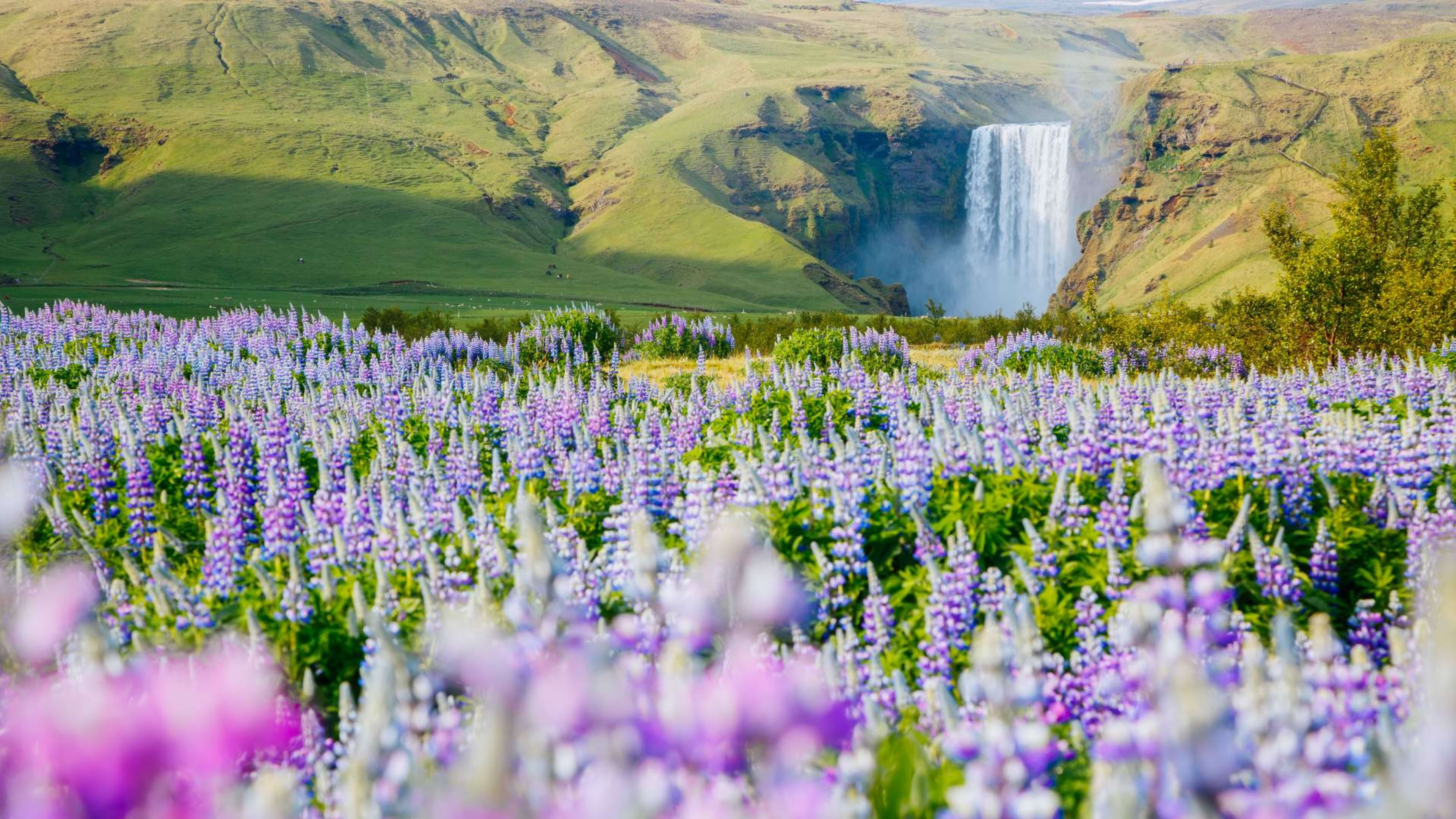
Hiking at Skaftafell
The Skaftafell area has some of Iceland's best day hiking. The most popular trail leads to Svartifoss, a waterfall framed by hexagonal basalt columns -- a 5 to 6 km round trip that's straightforward for most walkers. From the same trailhead, longer routes head up toward Kristínartindar for panoramic views over the glacier. The visitor centre at Skaftafell has trail maps, current conditions, and ranger advice.
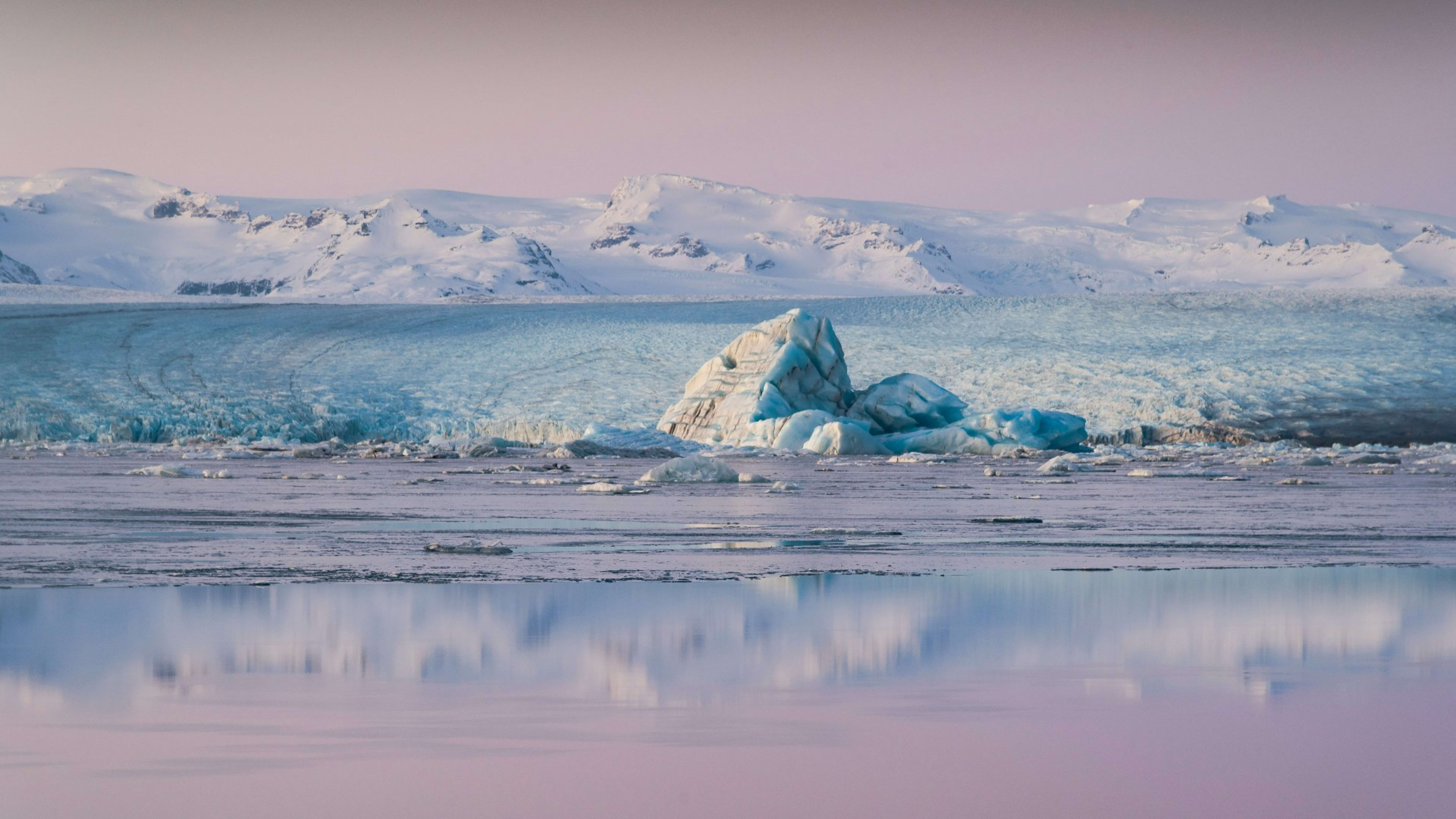
Jökulsárlón glacier lagoon
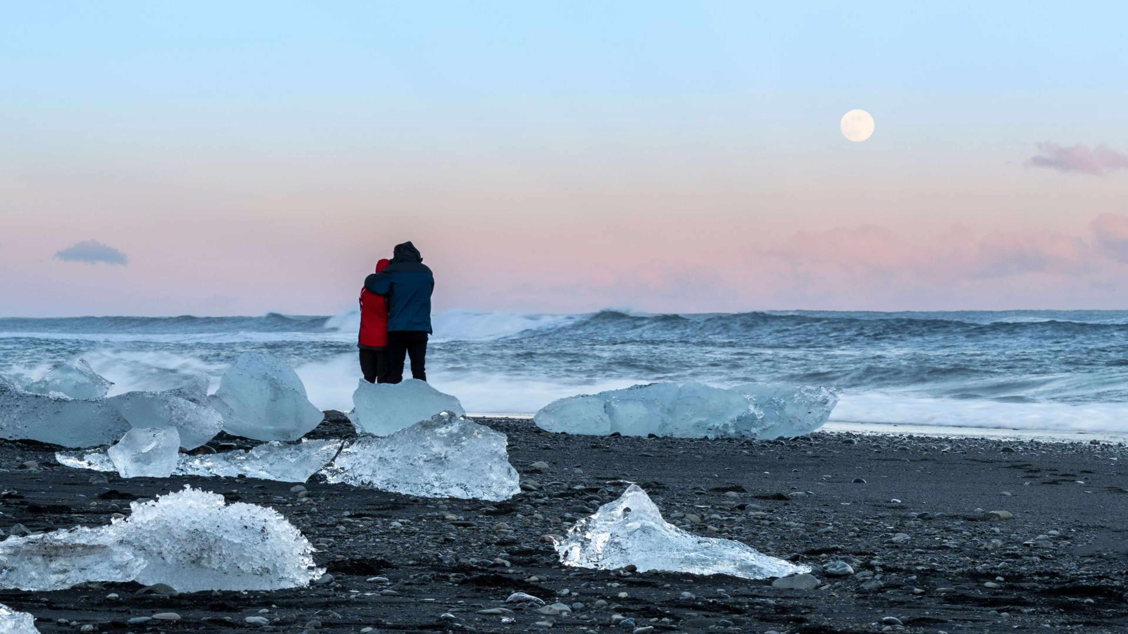
On the southern edge of the park, Jökulsárlón is one of Iceland's most visited sites. Icebergs calved from Breiðamerkurjökull drift across the lagoon before reaching the sea, and boat tours operate on the water from May through October. Directly across Route 1, Diamond Beach (Breiðamerkursandur) collects ice washed in from the lagoon on a stretch of black volcanic sand.
Dettifoss
In the northern section of the park, Dettifoss is considered Europe's most powerful waterfall by volume, dropping 44 metres across a width of around 100 metres. It sits in the Jökulsárgljúfur canyon, which is accessible from Route 862 or 864 off the Ring Road. The drive from Reykjavík to this part of the park takes around seven hours, so most visitors who come specifically for Dettifoss base themselves in Akureyri or the Mývatn area.
Getting there
The park is accessible from Route 1 at multiple points. The Skaftafell area is about 327 km from Reykjavík -- roughly 4 to 4.5 hours. Jökulsárlón is around 380 km, or 5 hours. Both are straightforward self-drive destinations, and the Ring Road passes directly through the southern section of the park. For those who prefer not to drive, guided group tours and privately guided trips include transport from Reykjavík.