
A Massive Ice Cap in Southern Iceland
Mýrdalsjökull stands as Iceland's fourth-largest glacier, covering approximately 595 square kilometers in the southern highlands. The name translates to "mire valley glacier," referring to the landscape it dominates near the town of Vík í Mýrdal. This expansive ice cap reaches elevations of 1,510 meters at its highest point, Goðabunga, with ice thickness averaging 230 meters and reaching up to 700 meters in some areas. The glacier contains an estimated 140 cubic kilometers of ice, making it one of Iceland's most significant glacial systems.
What makes Mýrdalsjökull particularly notable is not just its size but what lies beneath. The glacier covers Katla, one of Iceland's most powerful and active volcanoes, creating a dramatic combination of fire and ice that defines this region. This relationship between glacier and volcano has shaped both the landscape and the history of southern Iceland for thousands of years.
Katla Volcano: The Force Beneath the Ice
Beneath Mýrdalsjökull's icy surface lies Katla, a volcano with a fearsome reputation earned through centuries of explosive eruptions. The volcanic caldera measures approximately 10 kilometers in diameter and sits buried under 200 to 700 meters of glacial ice. Katla has erupted at least 20 times since Iceland's settlement in 930 AD, with eruptions typically occurring every 40 to 80 years. The most recent major eruption took place in 1918, making the volcano overdue by its historical pattern.
When Katla erupts, the results can be catastrophic. The intense heat rapidly melts massive amounts of glacial ice, creating jökulhlaups, or glacial outburst floods, of extraordinary power. The 1755 eruption produced peak flood discharges estimated at 200,000 to 400,000 cubic meters per second, comparable to the combined average flow of the Amazon, Mississippi, Nile, and Yangtze rivers. These floods have historically rushed down onto the Mýrdalssandur plain, carrying enormous volumes of water, ice, and volcanic debris toward the coast.
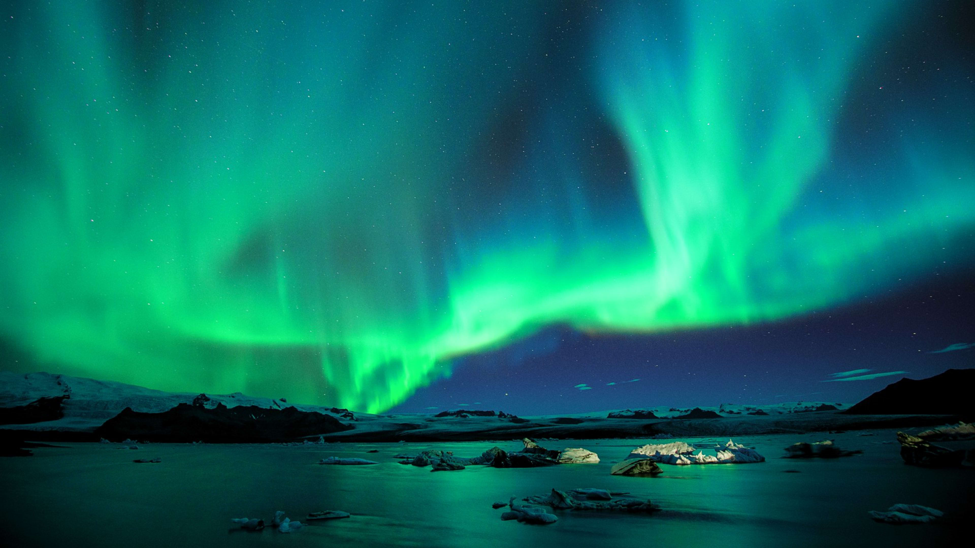
Scientists closely monitor Katla for signs of volcanic activity. The volcano has shown increased seismic activity and geothermal heating in recent years, with significant earthquake swarms occurring periodically. Geothermal heat from the volcano creates ice cauldrons on the glacier's surface, some reaching 50 meters deep, formed by subglacial melting. This constant monitoring ensures that any signs of an impending eruption can be detected, allowing for timely warnings to nearby communities.
Outlet Glaciers and Ice Features
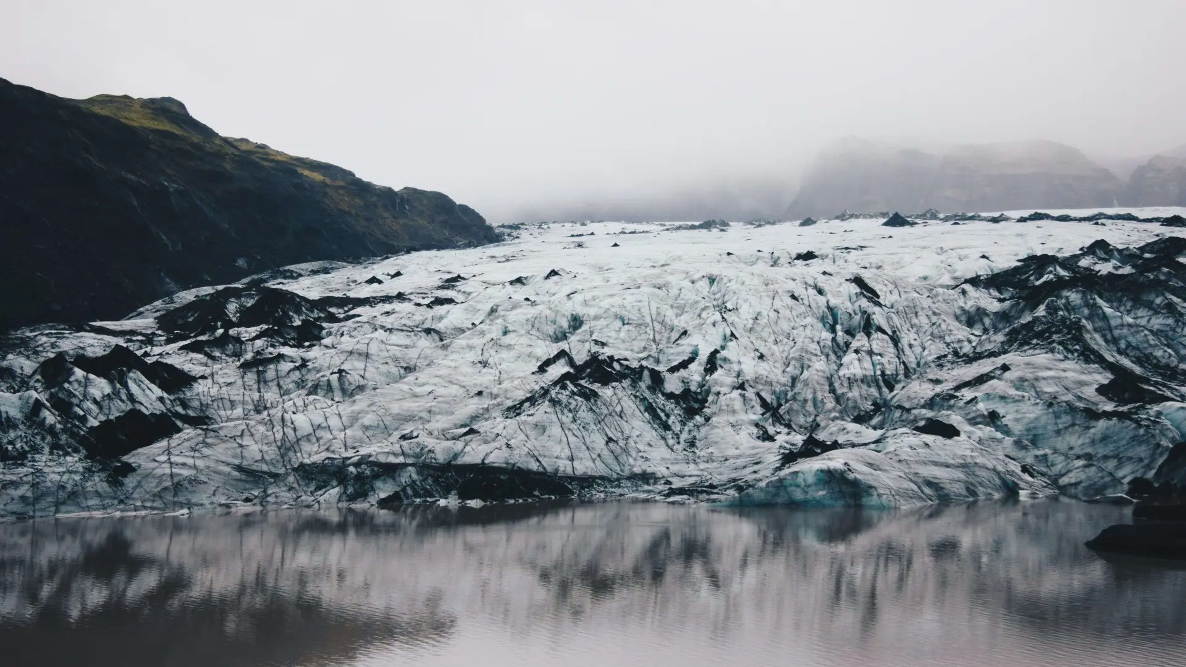
Several outlet glaciers extend from Mýrdalsjökull's margins, each offering unique opportunities for exploration. Sólheimajökull, flowing from the glacier's western edge, ranks as one of Iceland's most accessible outlet glaciers and serves as a popular destination for glacier hiking and ice climbing tours. The glacier tongue descends toward the coastal plain, creating a dramatic landscape of crevasses, ice formations, and moraines.
Kötlujökull, the southeastern outlet glacier, has gained fame for its spectacular ice caves. The Katla Ice Cave, accessible year-round unlike most Icelandic ice caves, features striking blue and black ice walls. Volcanic ash from Katla's eruptions becomes trapped in the ice, creating dark streaks and layers that tell the story of past volcanic activity. Walking through these caves provides a visceral connection to the geological forces that shape Iceland, with ancient volcanic ash visible in the ice walls.
These outlet glaciers have been retreating at rates of up to 50 meters per year since the 1990s, responding to rising summer temperatures. This recession provides scientists with valuable data about climate change while also revealing new features of the landscape previously hidden under ice.
A Dynamic and Dangerous Landscape
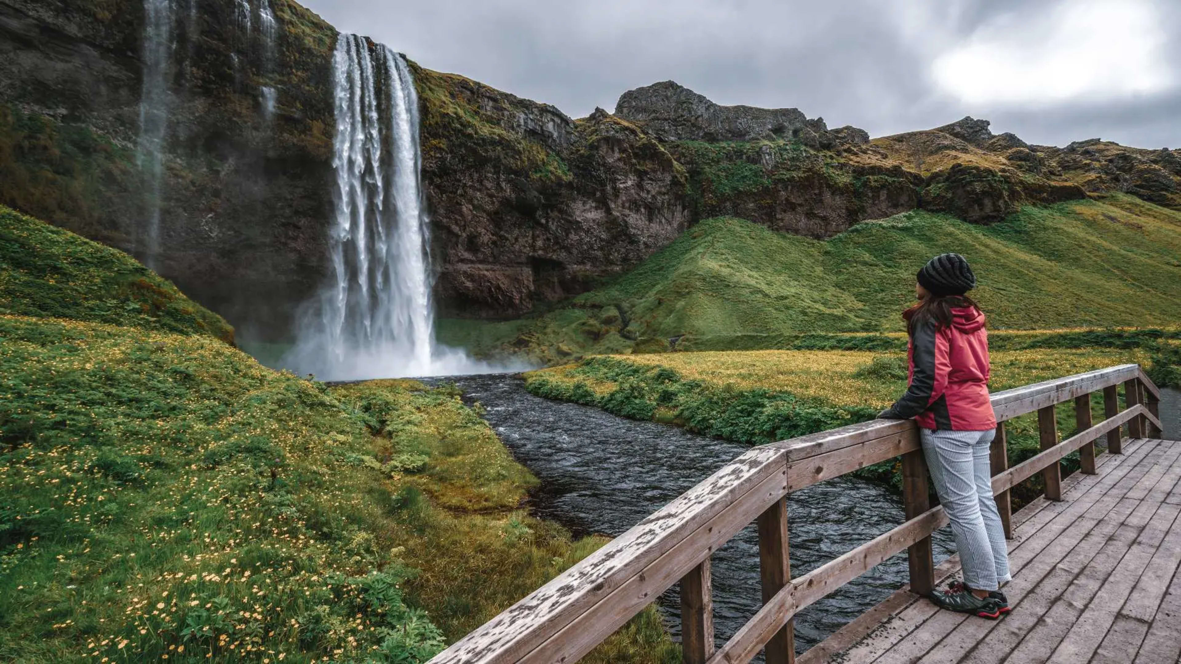
The interaction between Mýrdalsjökull and Katla creates one of Iceland's most hazardous natural environments. Before Iceland's Ring Road was completed in 1974, travelers feared crossing the plains in front of the glacier because of frequent jökulhlaups and deep, dangerous river crossings. The black sand plains of Mýrdalssandur bear witness to the power of these floods, covered with deposits from countless volcanic eruptions and glacial outbursts over the centuries.
Geothermal activity beneath the ice constantly reshapes the glacier's surface. Ice cauldrons form and evolve, crevasses open and close, and the ice itself moves and flows in response to both gravity and the heat from below. This dynamic nature makes Mýrdalsjökull a living laboratory for scientists studying glacial and volcanic processes, while also creating spectacular but potentially dangerous conditions for visitors.
Experiencing Mýrdalsjökull
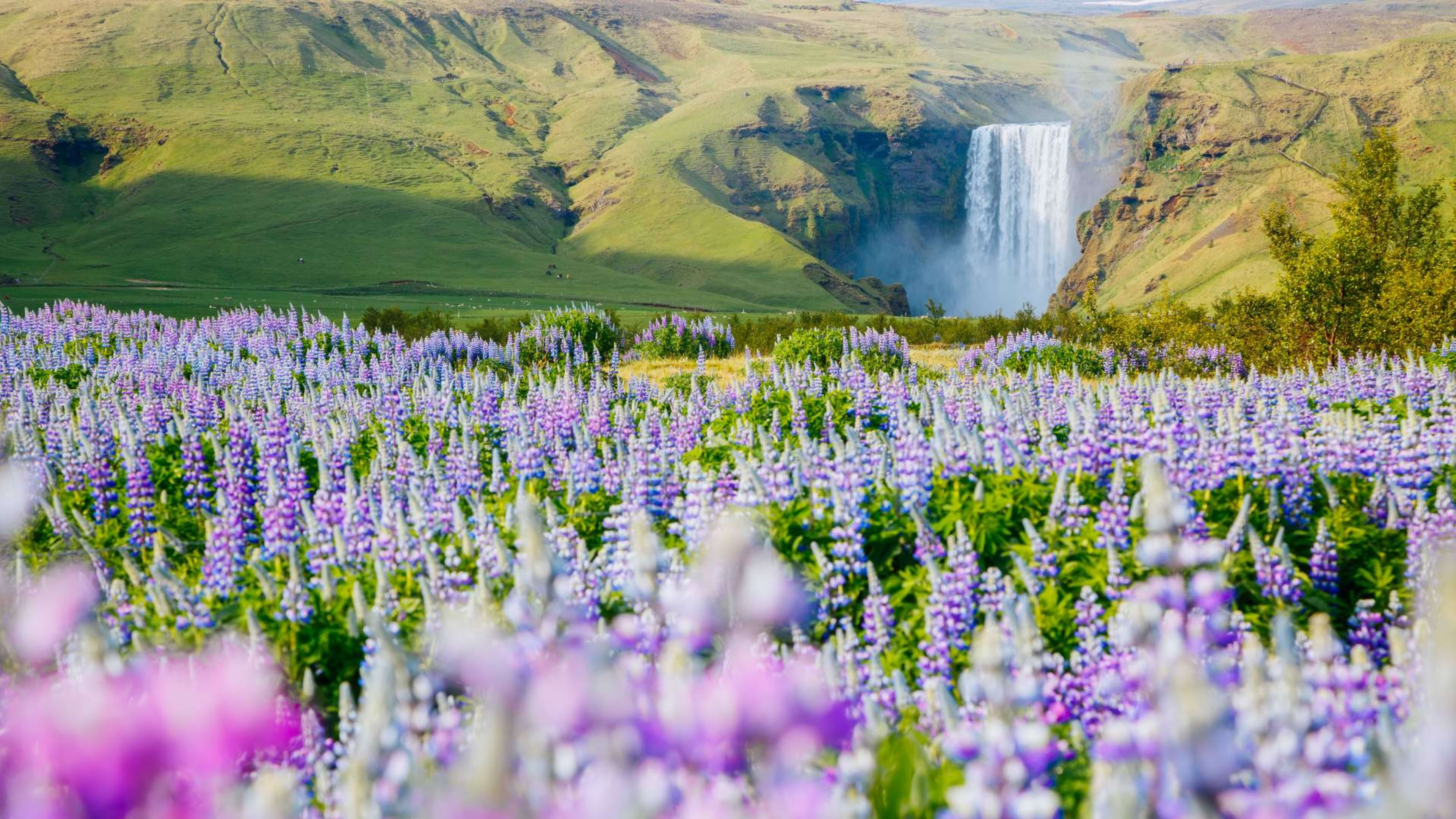
The glacier is clearly visible from Route 1, Iceland's Ring Road, particularly from the area around Vík í Mýrdal. The massive white expanse dominates the northern horizon, a reminder of the ice that still covers significant portions of Iceland despite ongoing climate change. For those wanting closer access, several tour operators offer guided experiences on the glacier and in its ice caves.
Glacier hiking tours on Sólheimajökull provide opportunities to walk on the ice, explore crevasses, and learn about glacial processes from experienced guides. These tours typically last 2 to 3 hours and require no previous glacier experience, making them accessible to most visitors. Ice cave tours to Kötlujökull offer a different perspective, taking visitors inside the glacier via super jeep to witness the remarkable ice formations and volcanic ash layers.
All glacier activities should only be undertaken with qualified guides. The combination of volcanic activity, crevasses, and changing ice conditions makes unguided glacier travel extremely dangerous. Tour operators monitor conditions closely and adjust routes as needed to ensure visitor safety while providing unforgettable experiences of this remarkable landscape.