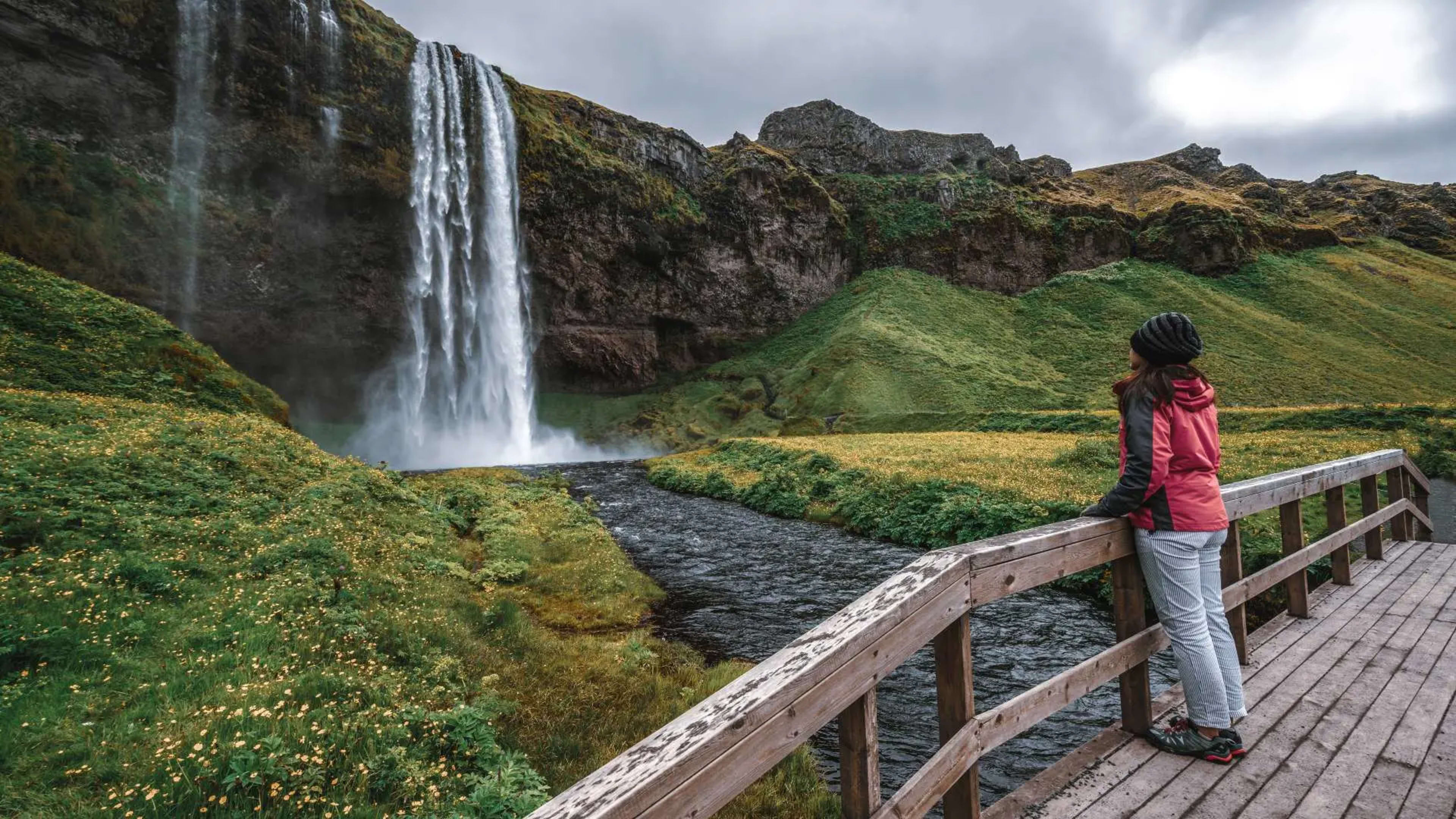
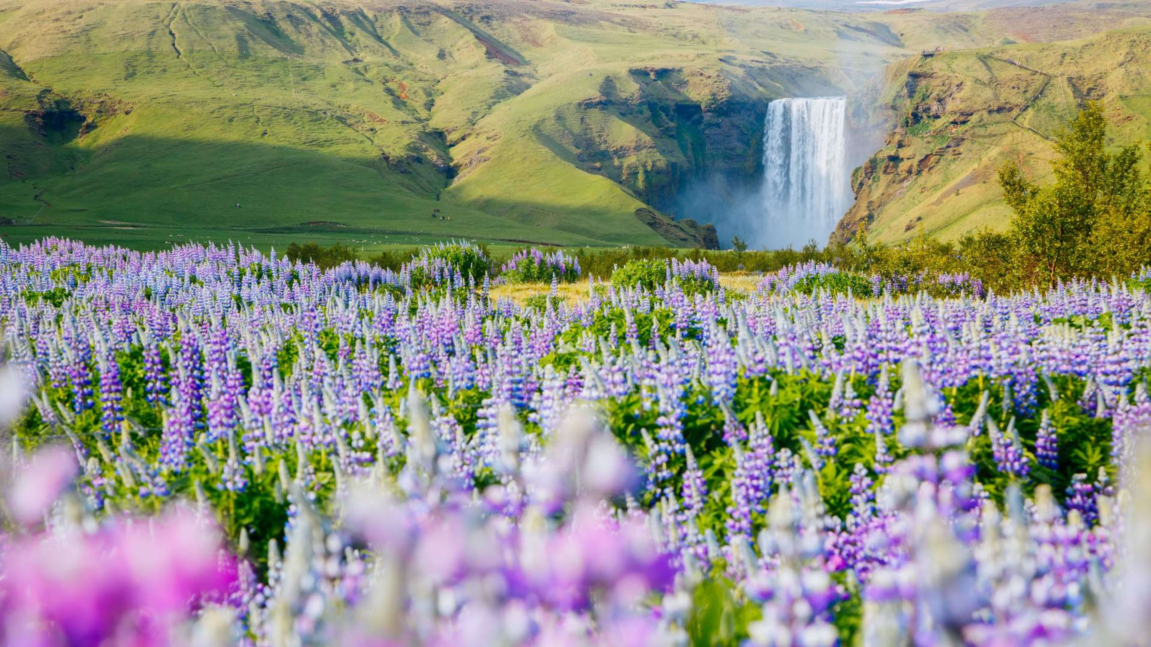

About Mýrdalsjökull
Mýrdalsjökull is Iceland's fourth-largest glacier, covering approximately 595 square kilometres in the southern highlands near Vík í Mýrdal. The name means "mire valley glacier." The ice cap reaches 1,510 metres at its highest point, Goðabunga, with ice averaging 230 metres thick and reaching up to 700 metres in places.
What makes Mýrdalsjökull particularly significant is what lies beneath it. The glacier covers Katla, one of Iceland's most powerful volcanoes, whose caldera measures around 10 km in diameter and sits buried under 200 to 700 metres of ice. The relationship between glacier and volcano has shaped the landscape and history of south Iceland for thousands of years.
Katla volcano
Katla has erupted at least 20 times since Iceland's settlement around 930 AD, with eruptions typically occurring every 40 to 80 years. The most recent major eruption was in 1918. When Katla erupts beneath the glacier, the heat rapidly melts enormous volumes of ice, generating glacial outburst floods -- jökulhlaups -- of extraordinary power. The 1755 eruption produced peak flood discharges estimated at 200,000 to 400,000 cubic metres per second. These floods have historically swept south across the Mýrdalssandur plain, carrying water, ice, and volcanic debris toward the coast.
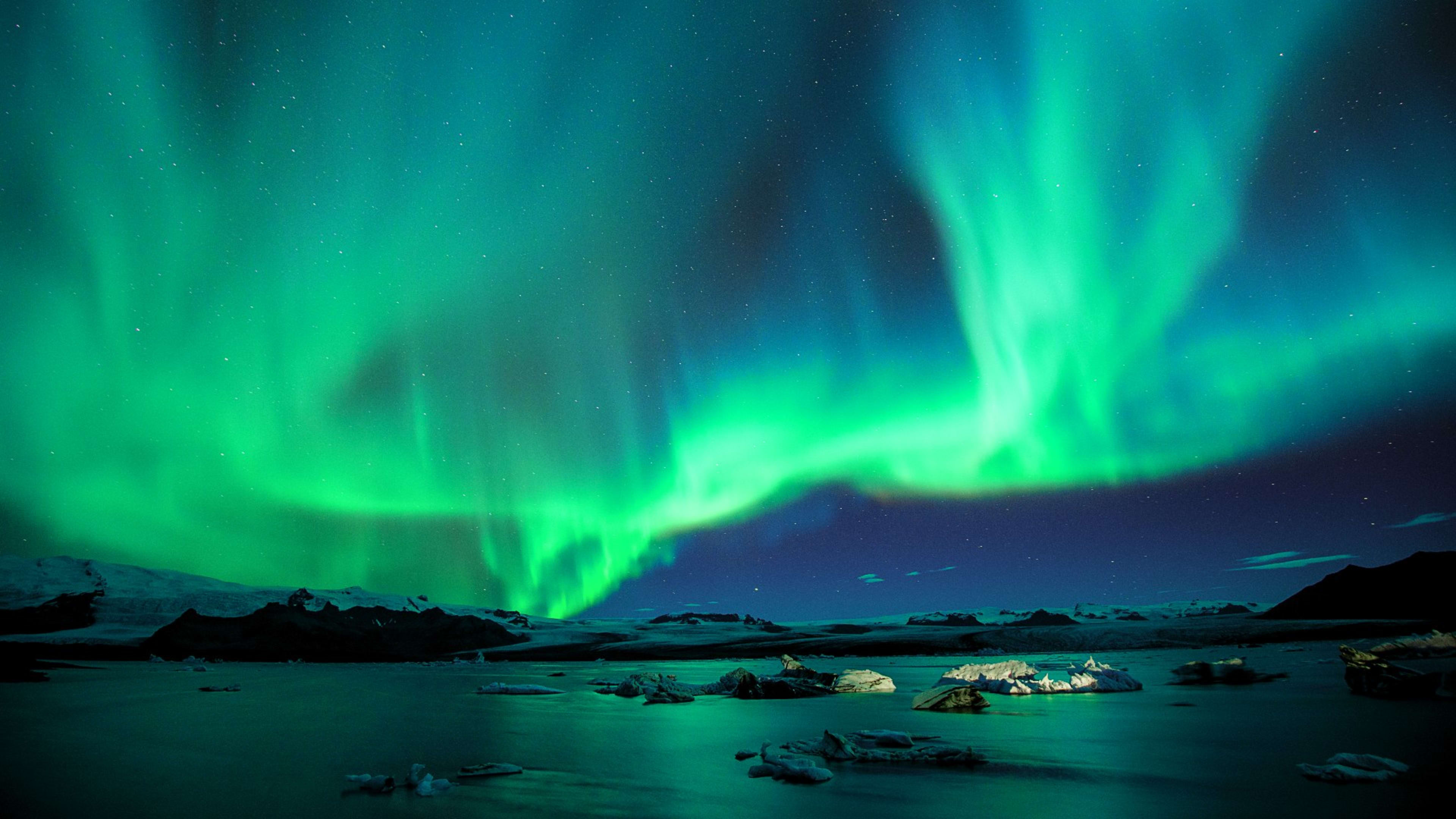
Scientists monitor Katla continuously. The volcano has shown periodic earthquake swarms and increased geothermal activity in recent years, and geothermal heat from below creates ice cauldrons on the glacier's surface -- some reaching 50 metres deep -- formed by subglacial melting.
Outlet glaciers and ice caves
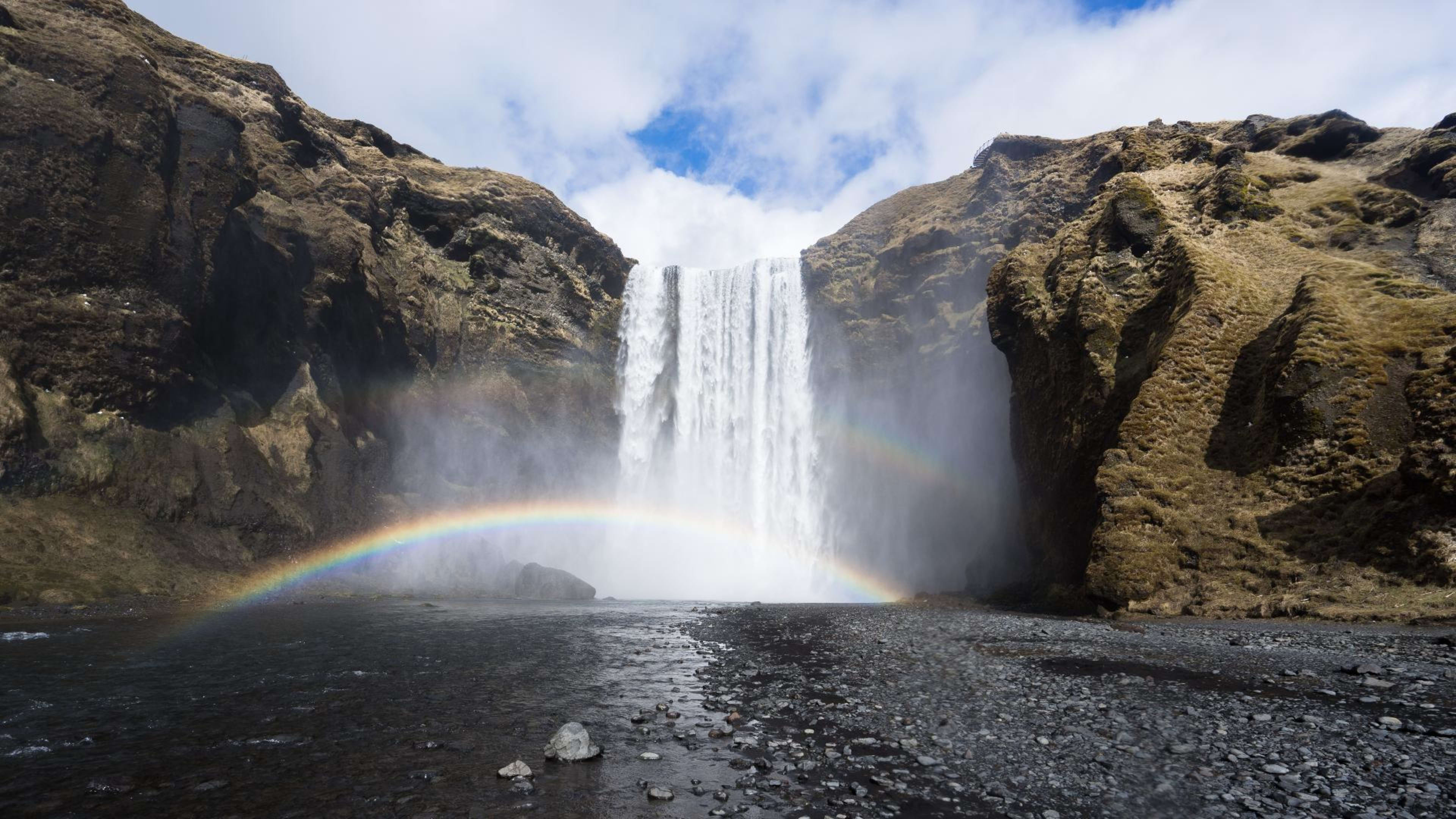
Several outlet glaciers extend from Mýrdalsjökull's margins. Sólheimajökull, on the western edge, is one of Iceland's most accessible outlet glaciers and is the main base for guided glacier hikes in this area. The glacier tongue descends toward the coastal plain through a landscape of crevasses, ice formations, and moraines. Guided hikes typically last 2 to 3 hours and require no previous glacier experience.
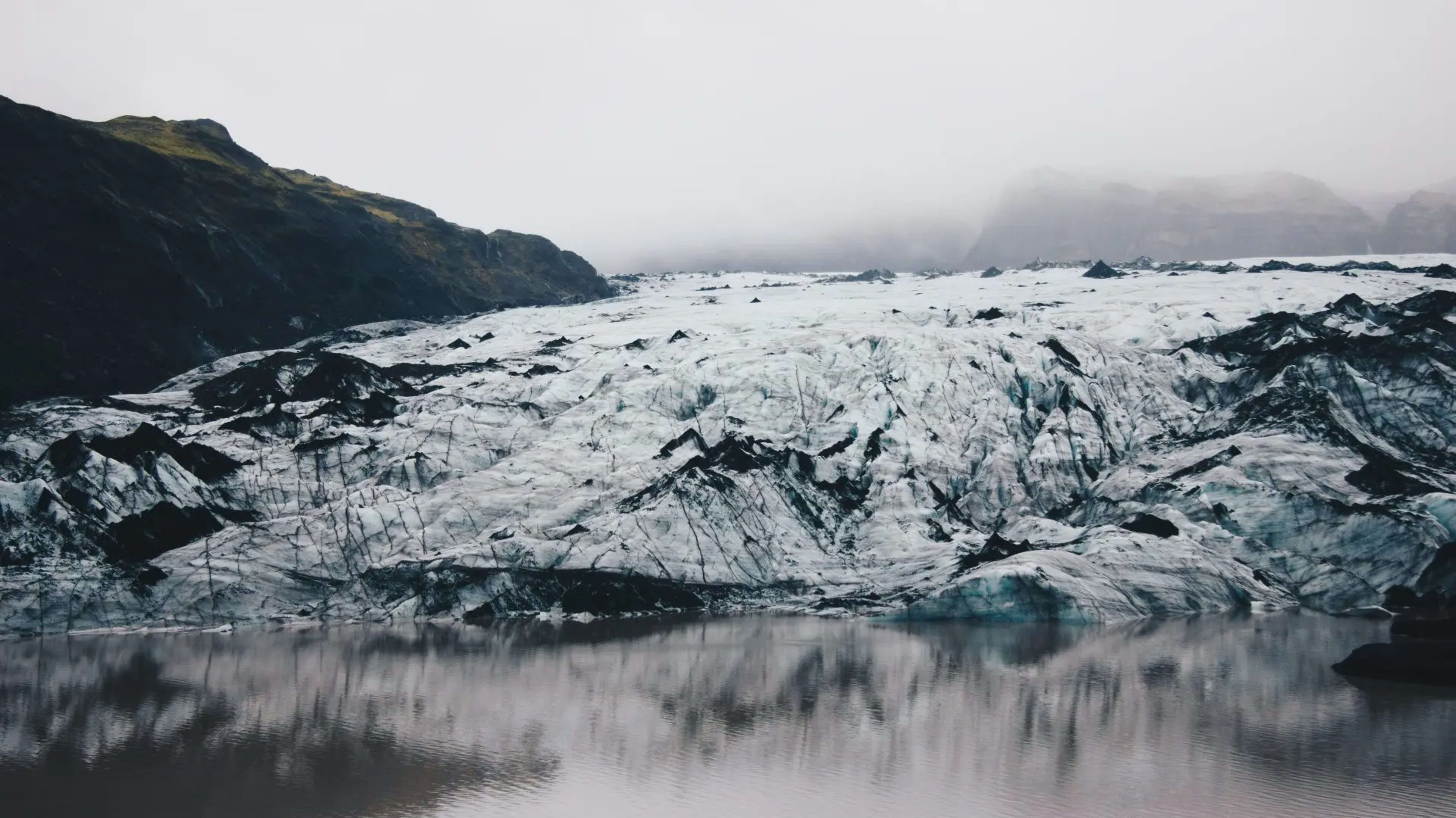
Kötlujökull, the southeastern outlet, is home to the Katla Ice Cave -- one of the few glacier ice caves in Iceland accessible year-round rather than only in winter. The cave features blue and black ice walls, with dark streaks of volcanic ash from past Katla eruptions visible in the layers. Access is by super jeep with a guided tour.
Both outlet glaciers have been retreating at rates of up to 50 metres per year since the 1990s as summer temperatures have risen.
Visiting Mýrdalsjökull
The glacier is visible from the Ring Road in the area around Vík í Mýrdal, its white expanse dominating the northern skyline. All glacier activities -- hiking, ice caving, and anything on the ice itself -- must be done with a qualified guide. The combination of volcanic activity, crevasses, and constantly changing ice conditions makes unguided glacier travel dangerous.
The Katla Ice Cave tours depart from Vík. Sólheimajökull glacier hikes depart from a car park off Route 1 about 30 km west of Vík. Both are standard additions to south coast self-drive tours.