About Eyjafjallajökull
Eyjafjallajökull is an ice-covered stratovolcano in south Iceland, rising 1,651 metres above sea level to the north of Skógar and west of Mýrdalsjökull. The name translates roughly as "island mountain glacier." The ice cap covering the summit is around 100 square kilometres, making it one of Iceland's smaller glaciers, though its geological and historical significance is considerable.
The volcano sits within Iceland's eastern volcanic zone. Its nearest volcanic neighbour is Katla to the northeast, and geologists have noted a pattern in the historical record: eruptions of Eyjafjallajökull have tended to be followed by eruptions of the larger and more powerful Katla within months or years. This connection means the volcano is closely monitored as an indicator of broader volcanic activity in the region.
The 2010 eruption
Eyjafjallajökull had been dormant for 187 years when it began showing signs of renewed activity in early 2010. On 20 March 2010, eruptions started at the ice-free Fimmvörðuháls pass between Eyjafjallajökull and Mýrdalsjökull. This initial phase produced lava fountains and required the evacuation of around 500 local residents, but caused limited wider disruption.
The situation changed on 14 April 2010, when eruptions broke through the glacier's ice-covered central caldera. As magma met the overlying ice and meltwater, rapid cooling shattered the molten rock into extremely fine, jagged ash particles. Within hours, a plume 8 to 9 kilometres high was being carried east by the jet stream toward the Faroe Islands, Norway, and across northern and western Europe.
Despite being a relatively modest eruption by Icelandic standards -- rated VEI-3 on the volcanic explosivity index -- the impact on air travel was significant. Between 14 and 20 April, around 20 countries closed their airspace to commercial traffic. The microscopic particles of hard volcanic rock in the ash cloud posed a serious risk to aircraft engines. An estimated 10 million travellers were affected. The eruption continued intermittently until 23 June 2010, lasting 95 days in total and producing around 270 million cubic metres of tephra.
The event changed international standards for airspace closure due to volcanic ash and remains one of the most documented volcanic eruptions in history.
Historical eruptions
Historical records show eruptions at Eyjafjallajökull in approximately 920 AD, 1612 or 1613, and 1821 to 1823. The 1821 to 1823 eruption was particularly destructive, lasting over a year. The ash from that event contained high levels of fluoride, which in sufficient concentrations damages the bone structure of livestock. Farmers in the area at the time attributed the deaths of cattle and sheep to fluoride poisoning from the volcanic emissions.
Visiting the area
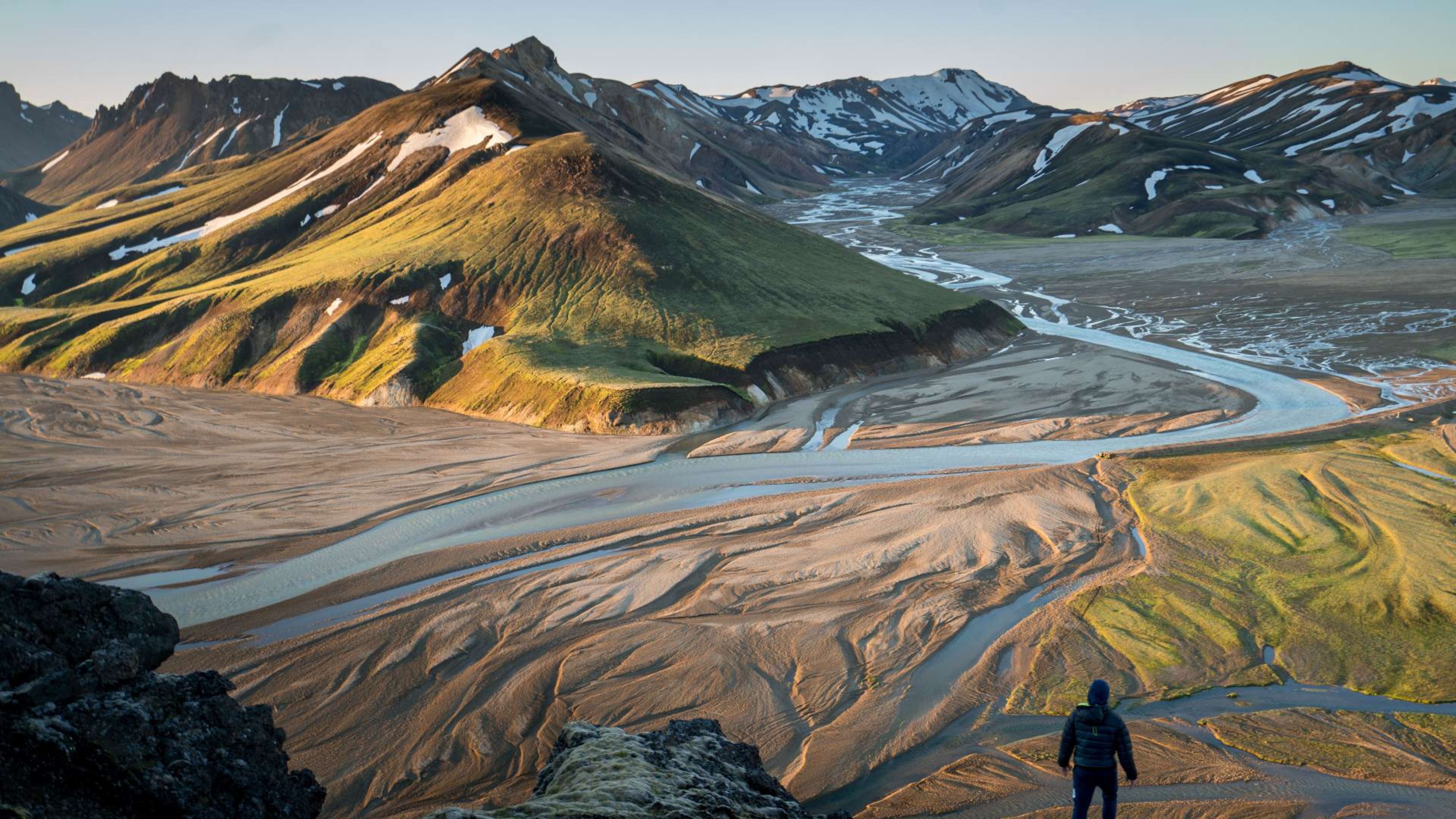
The glacier is visible from the Ring Road along the south coast between Skógar and Vík, its white ice cap rising above the coastal plain. On clear days it is a distinctive landmark on the northern horizon.
The Fimmvörðuháls pass, where the 2010 eruption began, is a popular hiking route. It connects the valleys around Skógar with the highland wilderness of Þórsmörk, and passes the new craters and lava flows created during the eruption. The landscape here is still largely bare volcanic rock with minimal vegetation.
The LAVA Centre in Hvolsvöllur has interactive exhibits on Iceland's volcanic history including detailed coverage of the 2010 eruption. It is a worthwhile stop if you want more context on what happened and how it was monitored.
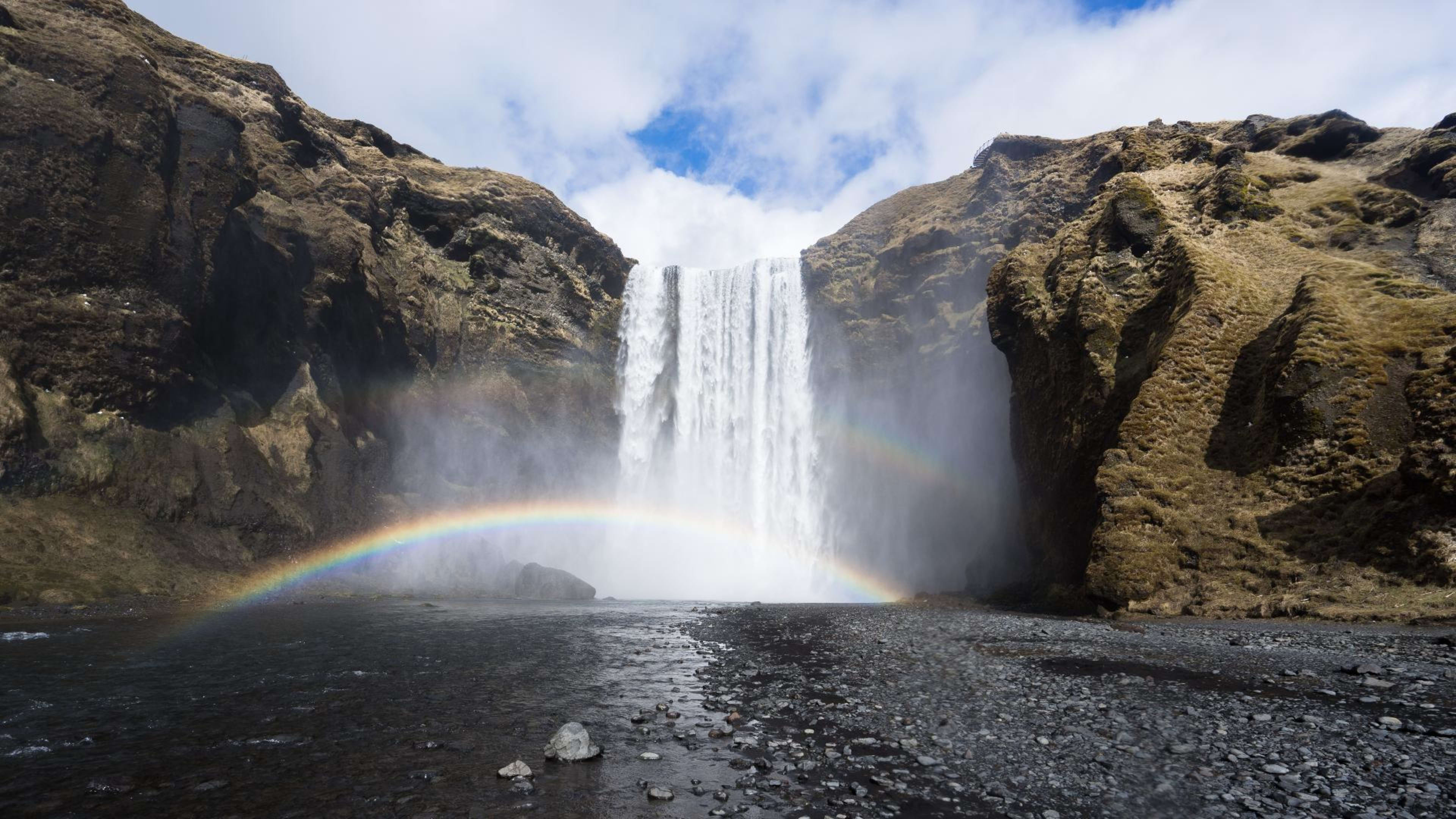
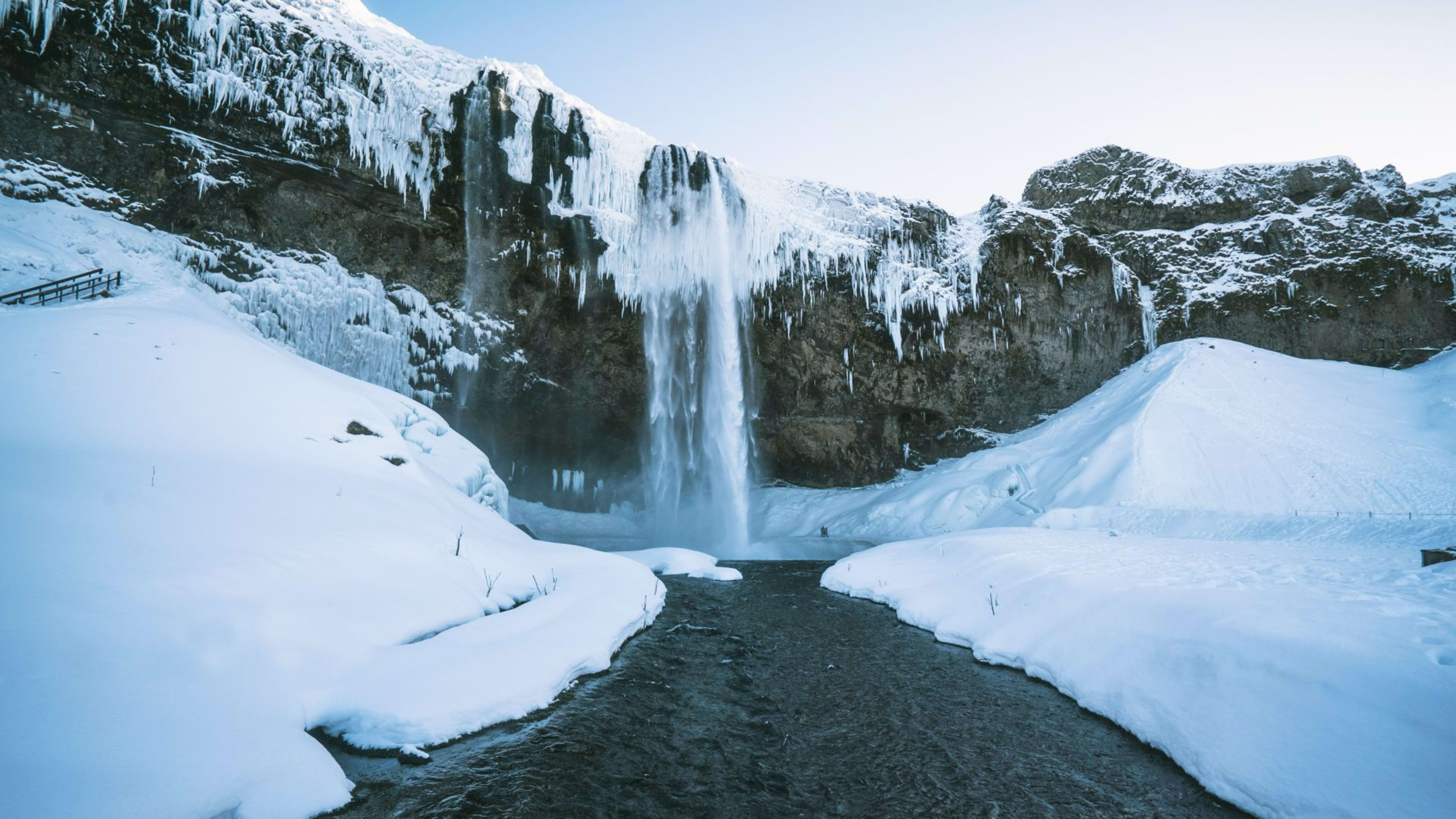
Skógafoss waterfall is at the base of the glacier, roughly 5 km from the foot of the ice cap. Seljalandsfoss is about 25 km to the west. Both are standard stops on south coast tours.