
About the Arctic Coast Way
The Arctic Coast Way is a 900 km driving route along Iceland's north coast, running from Hvammstangi in the west to Bakkafjörður in the east. It passes through six peninsulas -- Vatnsnes, Skagi, Tröllaskagi, Melrakkaslétta, and Langanes among them -- along coastlines facing the Greenland Sea. About a third of the route is on gravel roads, particularly on the more remote peninsulas.
The route was officially designated in 2019 as an alternative to the Ring Road for travellers who want to see more of north Iceland. It is quieter than the main Ring Road, passes through smaller communities, and includes stretches of coastline that most visitors to Iceland never reach.
What to see along the route
Hvammstangi and the Vatnsnes peninsula
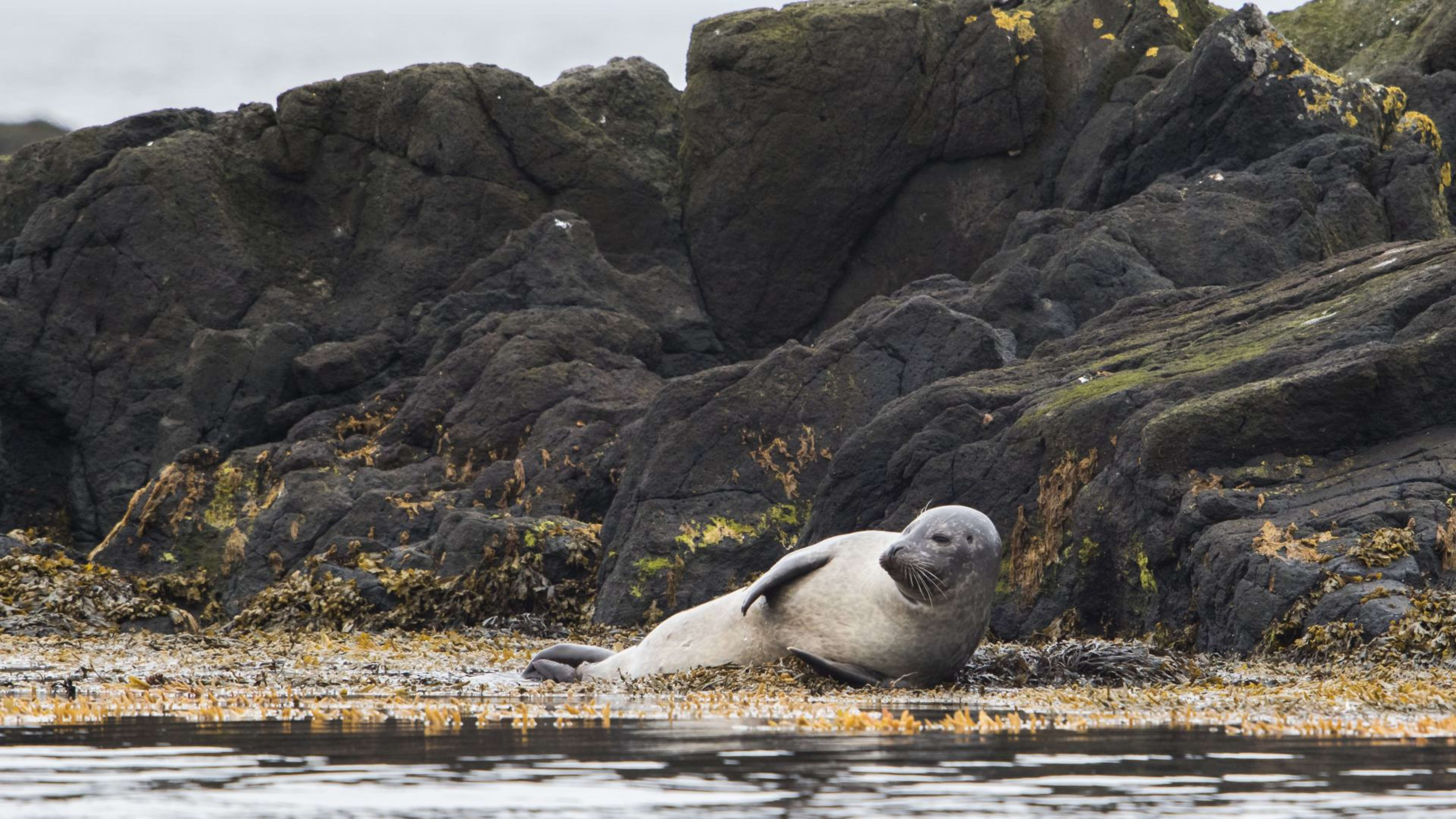
The western starting point, Hvammstangi is a small village known for seal watching. The Icelandic Seal Centre here covers the biology and conservation of Iceland's two seal species, both of which are common on the Vatnsnes coastline. Hvítserkur, a 15-metre basalt stack rising from the sea on the eastern side of the peninsula, is one of the most photographed formations in north Iceland.
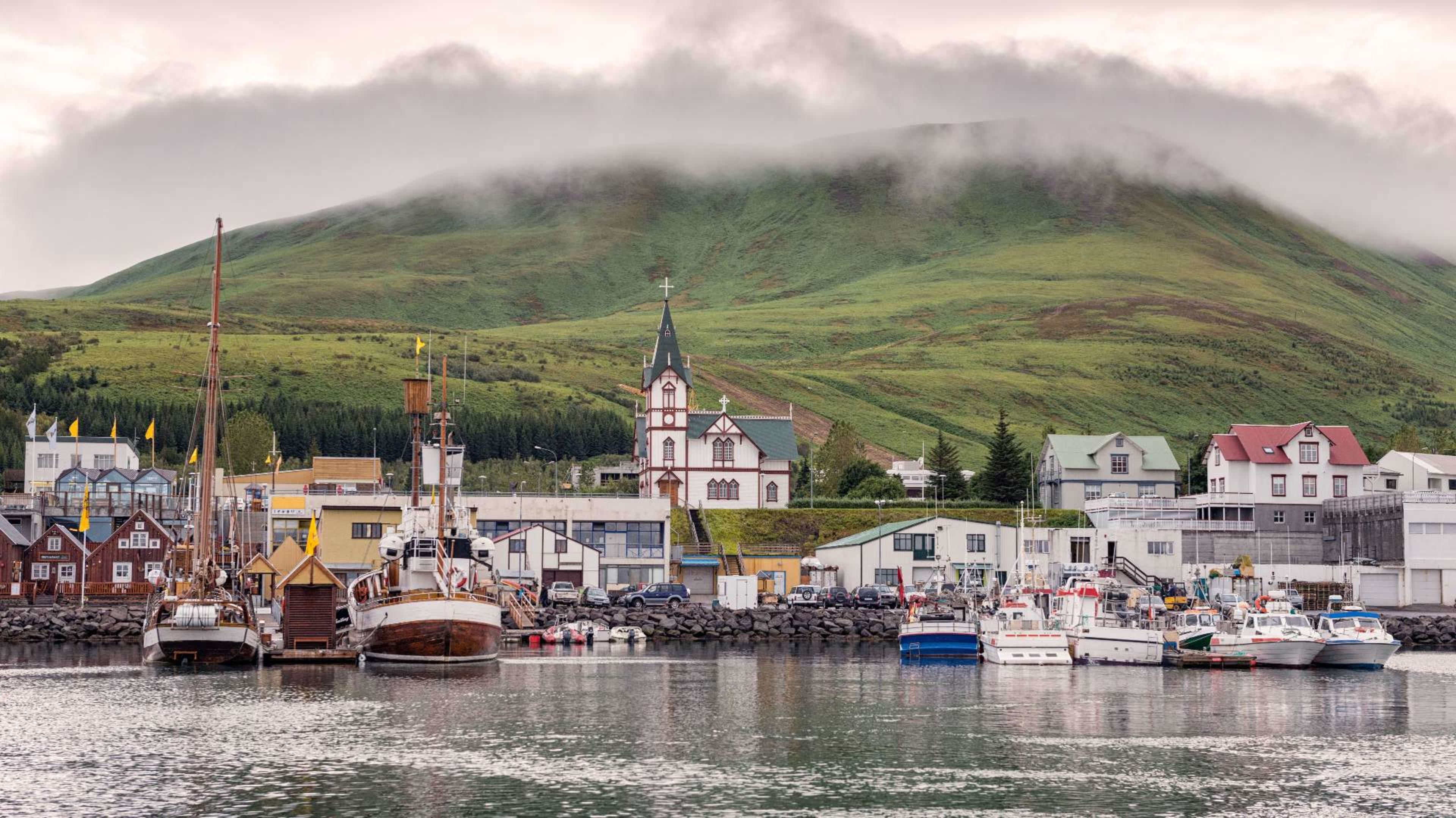
Siglufjörður and Tröllaskagi
Siglufjörður was once the centre of Iceland's herring industry -- at its peak in the mid-20th century it was one of the country's most prosperous towns. The Herring Era Museum there is one of Iceland's better regional museums, covering the industry and the way of life it created. The town sits at the end of a narrow fjord surrounded by steep mountains.
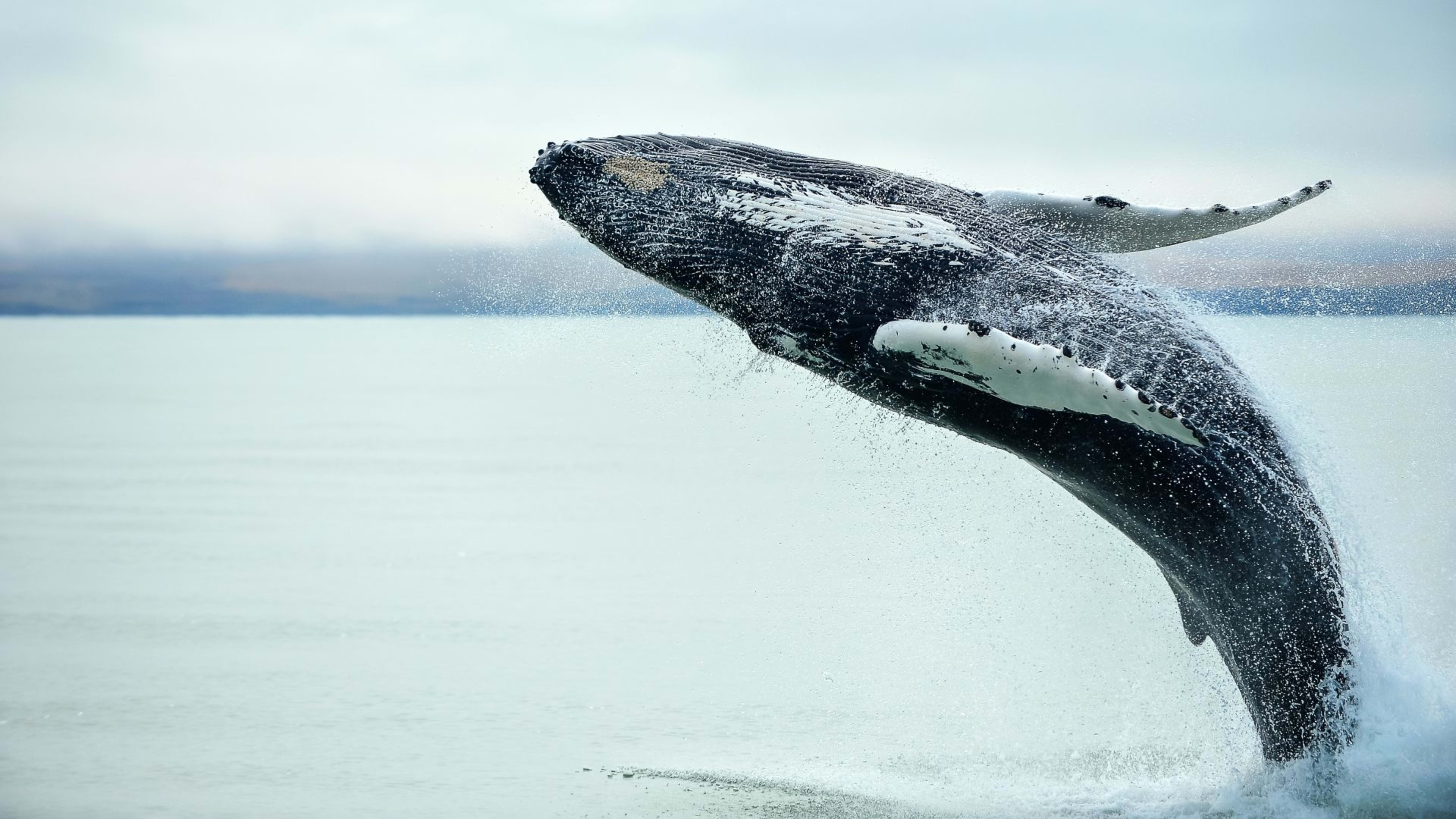
Húsavík
Húsavík is the most-visited town on the Arctic Coast Way and Iceland's most established base for whale watching. Humpback and minke whales are common in the bay through summer, and the Húsavík Whale Museum covers the natural history of cetaceans in Icelandic waters.
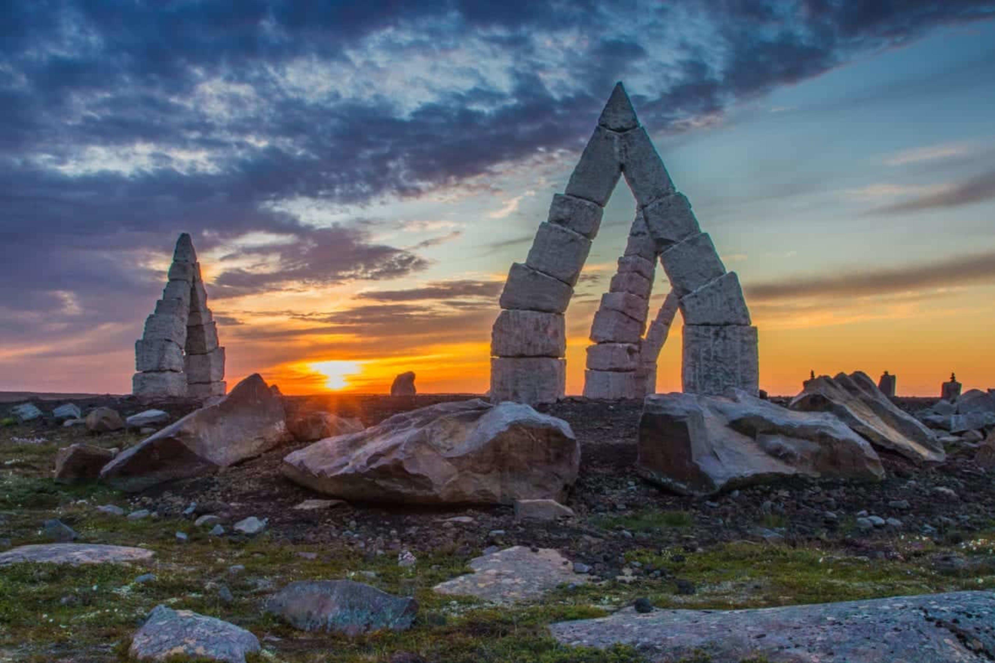
Raufarhöfn and the Arctic Henge
Near the northeastern tip of Iceland, Raufarhöfn is one of the most remote inhabited places in the country. On the hill above the village, the Arctic Henge is a large stone circle in progress, inspired by Norse mythology and designed to frame the midnight sun at the summer solstice.
Ásbyrgi and the east
Ásbyrgi canyon lies just off the Arctic Coast Way in northeast Iceland -- a horseshoe-shaped canyon with a forested floor and walls rising to 100 metres. From here the route continues east toward Langanes peninsula and the endpoint at Bakkafjörður.
Planning your drive
Most people allow 4 to 7 days for the full route. It can also be driven in sections or combined with a Ring Road itinerary. The gravel sections are manageable in a standard car in good conditions, but check with your rental company before booking and carry extra fuel when leaving larger towns -- services are sparse on the remote peninsulas. Akureyri is the main hub on or near the route and a natural place to restock or change accommodation.
The route is best driven between May and September when road conditions are most reliable. Some gravel roads can be difficult or closed in winter.