The Eruptions Since 2021
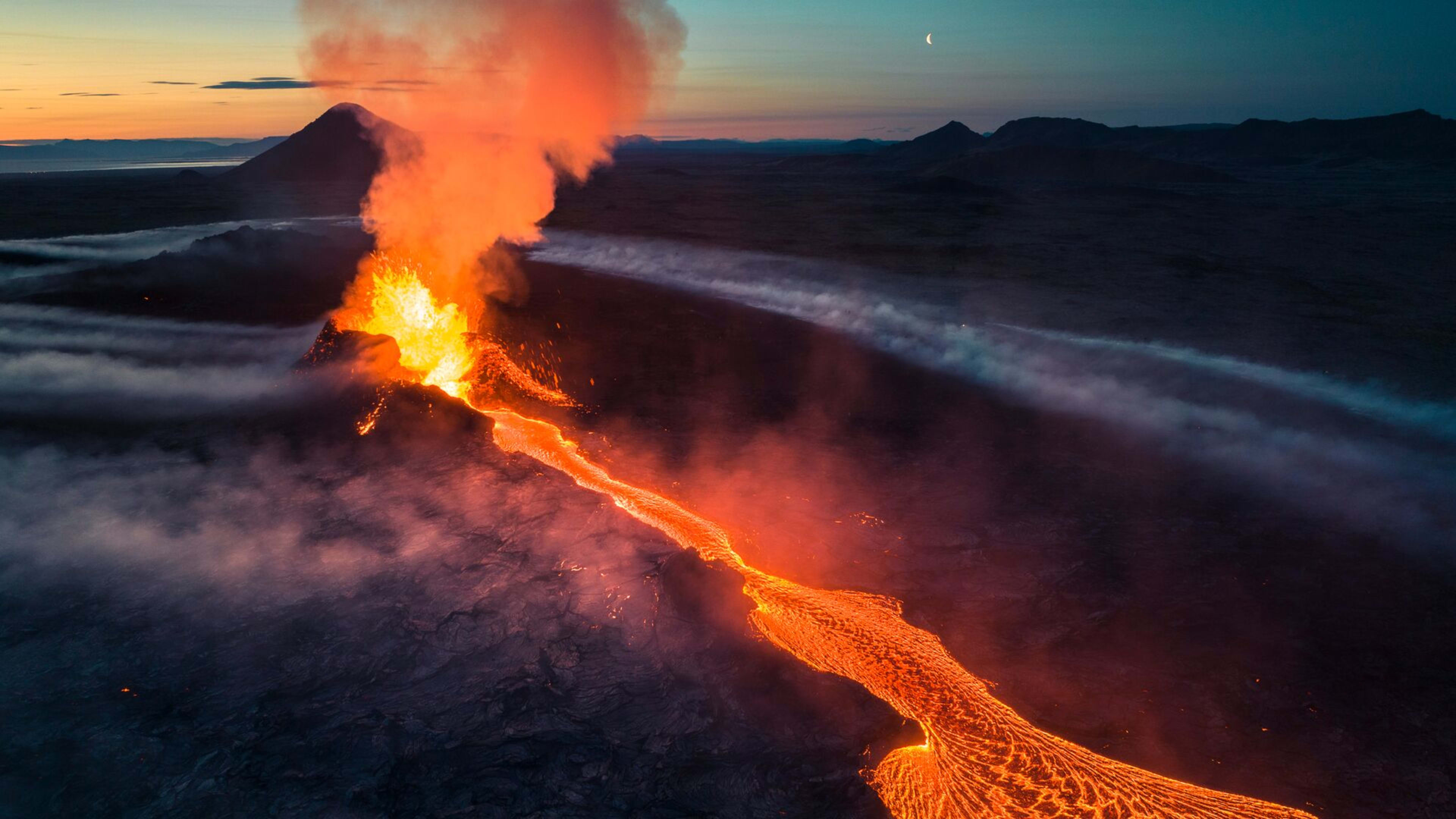
Before 2021 the Reykjanes peninsula had been volcanically quiet for around 800 years. The eruption that began on 19 March 2021 in Geldingadalur valley broke that silence and ran for six months before ending in September. It was followed by a second eruption in August 2022 in the neighbouring Meradalir valley, and a third in July 2023 at Litli-Hrútur, a hill between Keilir and Fagradalsfjall.
From December 2023 the focus of activity shifted to the Sundhnúkur crater row, a fissure system northeast of Grindavík and slightly north of Fagradalsfjall. A series of eruptions followed through 2024 and into 2025, the most recent of which began on 16 July 2025 and ended on 5 August 2025. The repeated eruptions have produced extensive lava fields across a relatively compact area of the peninsula, all accessible from the same trail network.
The Fagradalsfjall eruptions of 2021, 2022, and 2023 were widely described as tourist eruptions because they produced slow-moving lava flows into uninhabited valleys and posed no significant risk to nearby communities. Tens of thousands of people visited the eruption sites while lava was actively flowing. The Sundhnúkur eruptions from 2023 onward came closer to Grindavík, which led to evacuations of the town on multiple occasions, though the eruptions themselves remained confined to the immediate fissure zone and did not disrupt air travel.
Visiting the Lava Fields Today
There is no active eruption on the Reykjanes peninsula at the time of writing, but the lava fields from the 2021 to 2025 eruptions remain and are the main draw for visitors. The trail network starts from the P1 parking area near Fagradalsfjall and offers several marked routes of varying lengths and difficulty levels. Trail A leads to the Geldingadalur and Meradalir lava fields from the 2021 and 2022 eruptions. Trail B heads toward the Sundhnúkur crater row and the more recent lava fields, with viewpoints at 4.7 and 6.1 kilometres from the parking area one way.
Parking requires payment via the Parka app. Hiking boots are essential as the terrain is uneven, rocky, and in places sharp-edged from recently solidified lava. The trails are waymarked but volcanic landscapes can be disorienting in low visibility, so checking weather forecasts before setting out is worthwhile. Walking on newly solidified lava fields off the marked paths is not permitted, both for safety reasons and because the surface can be hollow and unstable beneath a solid-looking crust.
Allow at least half a day for the hike regardless of which route you choose. The trails range from 2 to 8 kilometres one way, and the uneven terrain makes progress slower than on standard paths. Bring water, snacks, and wind and waterproof layers regardless of the forecast.
Gas Pollution and Safety
Volcanic gas, primarily sulfur dioxide, remains a consideration in this area even when no eruption is taking place. The cooling lava fields continue to release gas, and wind direction affects where concentrations build up. The Icelandic Meteorological Office publishes a gas pollution forecast for the peninsula. Before visiting, check the current status on the IMO website and on Safe Travel Iceland. If you notice a sulphur smell or experience any respiratory discomfort while on the trails, leave the area promptly and move upwind.
Parts of the trail network may be closed at short notice depending on volcanic activity or gas levels. Always check for current closures before setting out.
Getting There
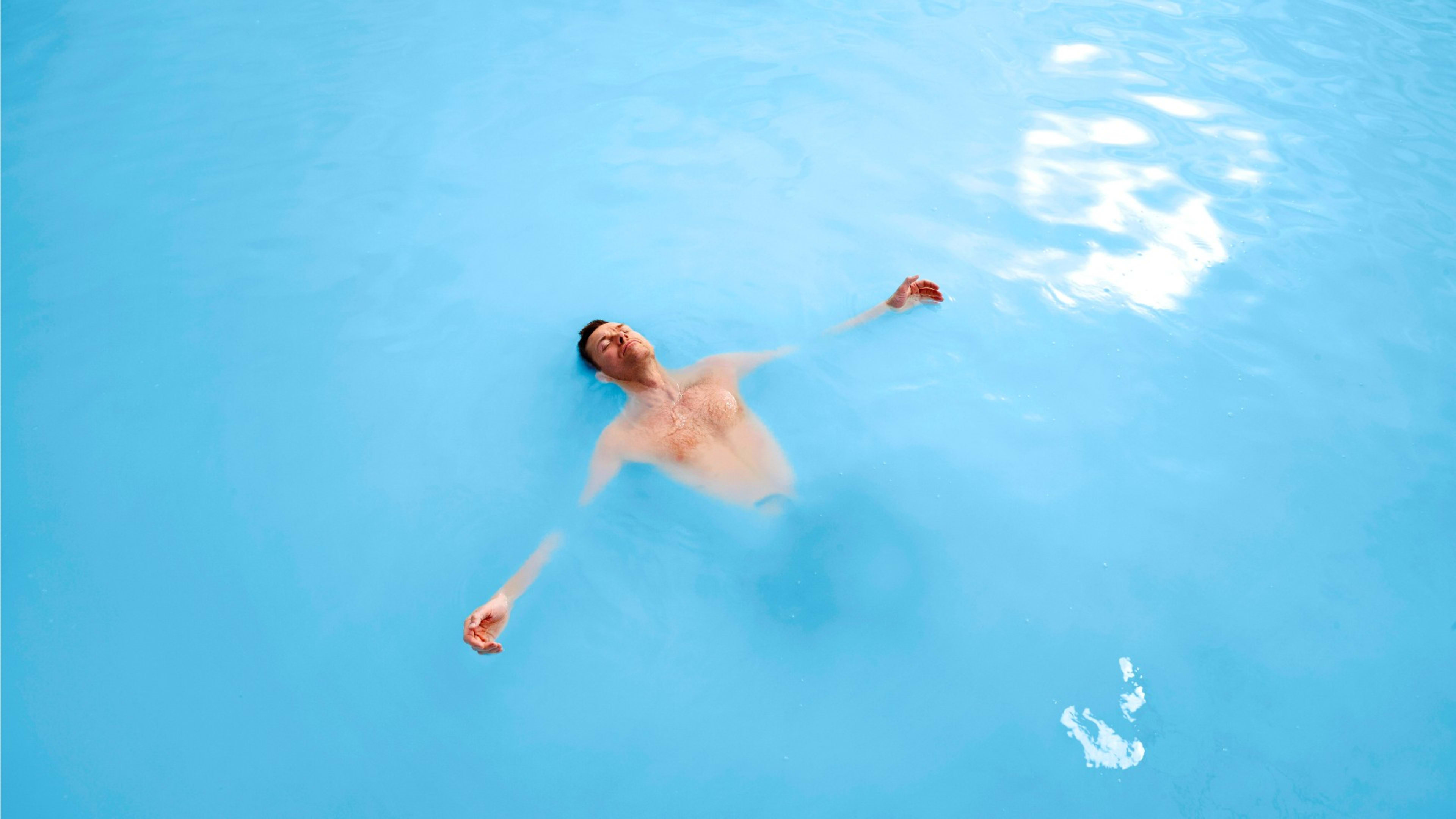
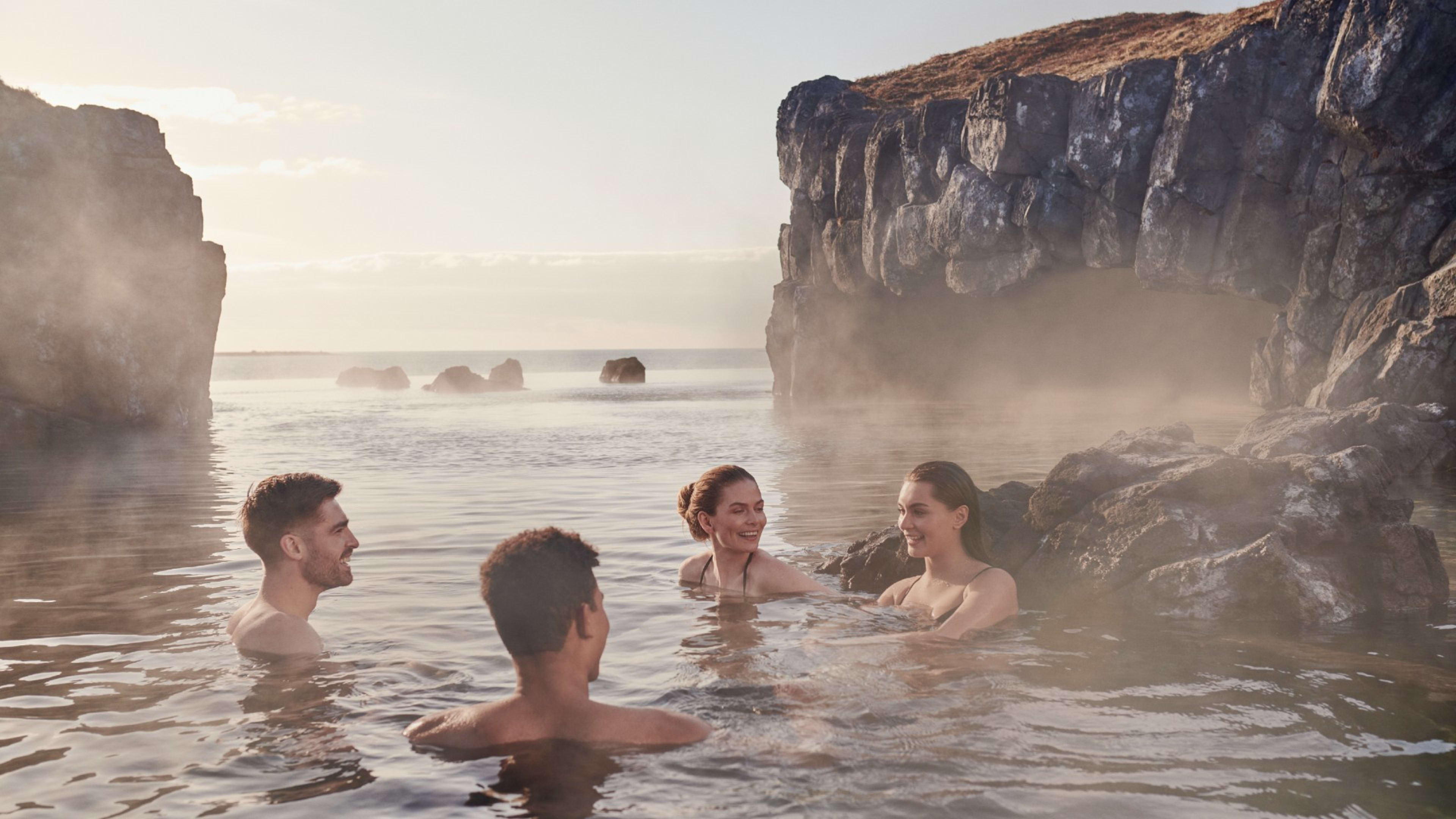
Fagradalsfjall is reached from Reykjavík by following Route 42 south across the peninsula and then heading west on Route 427 toward Grindavík, turning east on Route 427. From Keflavíkurflugvöllur the drive takes around 20 to 30 minutes via Route 41 and Route 43 toward Grindavík. The main trailhead parking area (P1) is clearly signposted. The Blue Lagoon is approximately 15 minutes away by car, which makes it a practical combination stop.
Monitoring and Current Status
The University of Iceland's Institute of Earth Sciences and the Icelandic Meteorological Office monitor seismic activity and ground deformation on the peninsula continuously. Increased earthquake frequency is typically one of the early indicators of renewed volcanic activity. For the most current information on trail access, gas warnings, and volcanic status, check the Icelandic Meteorological Office website and Safe Travel Iceland before your visit.