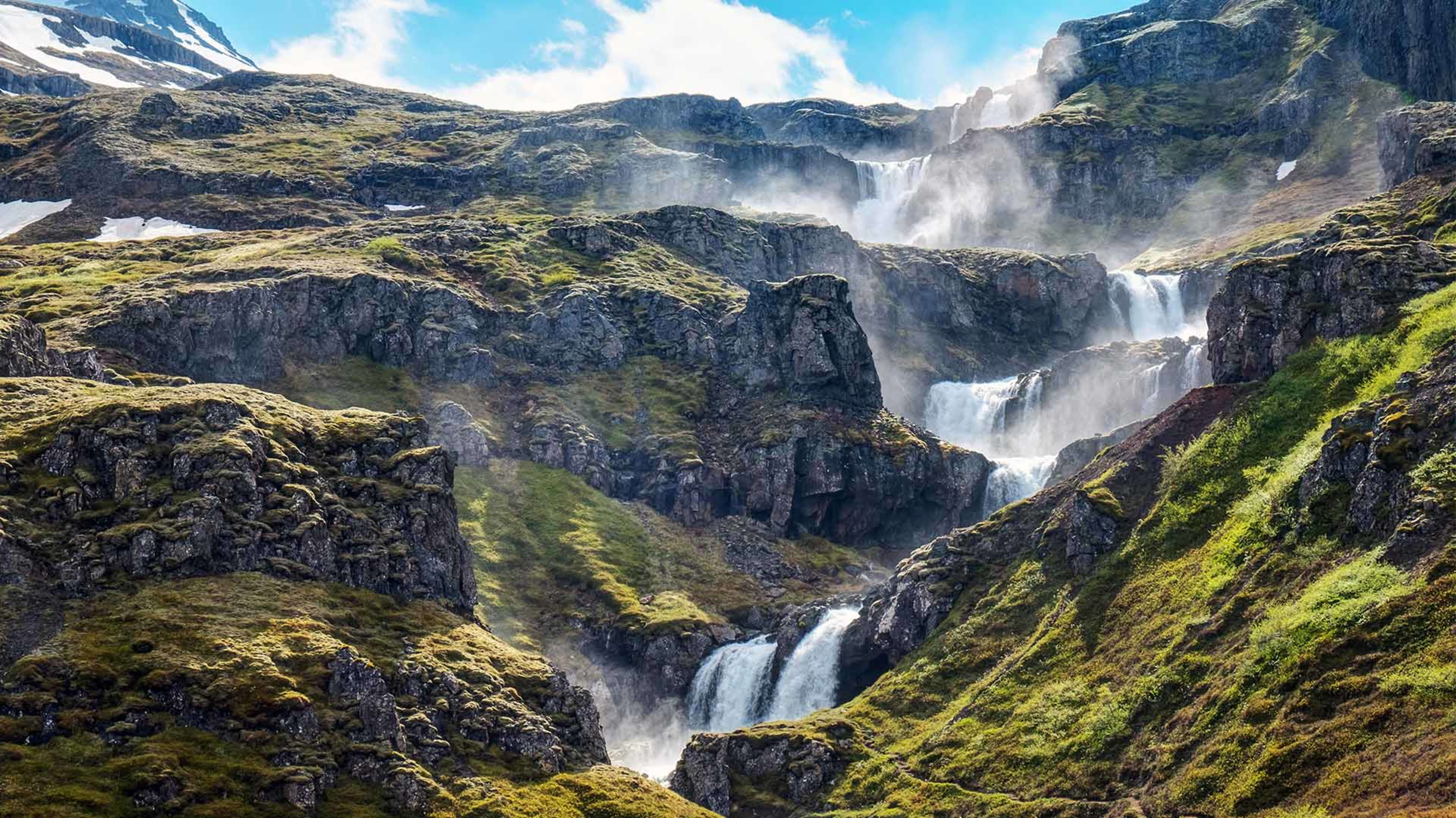
The Basalt Columns
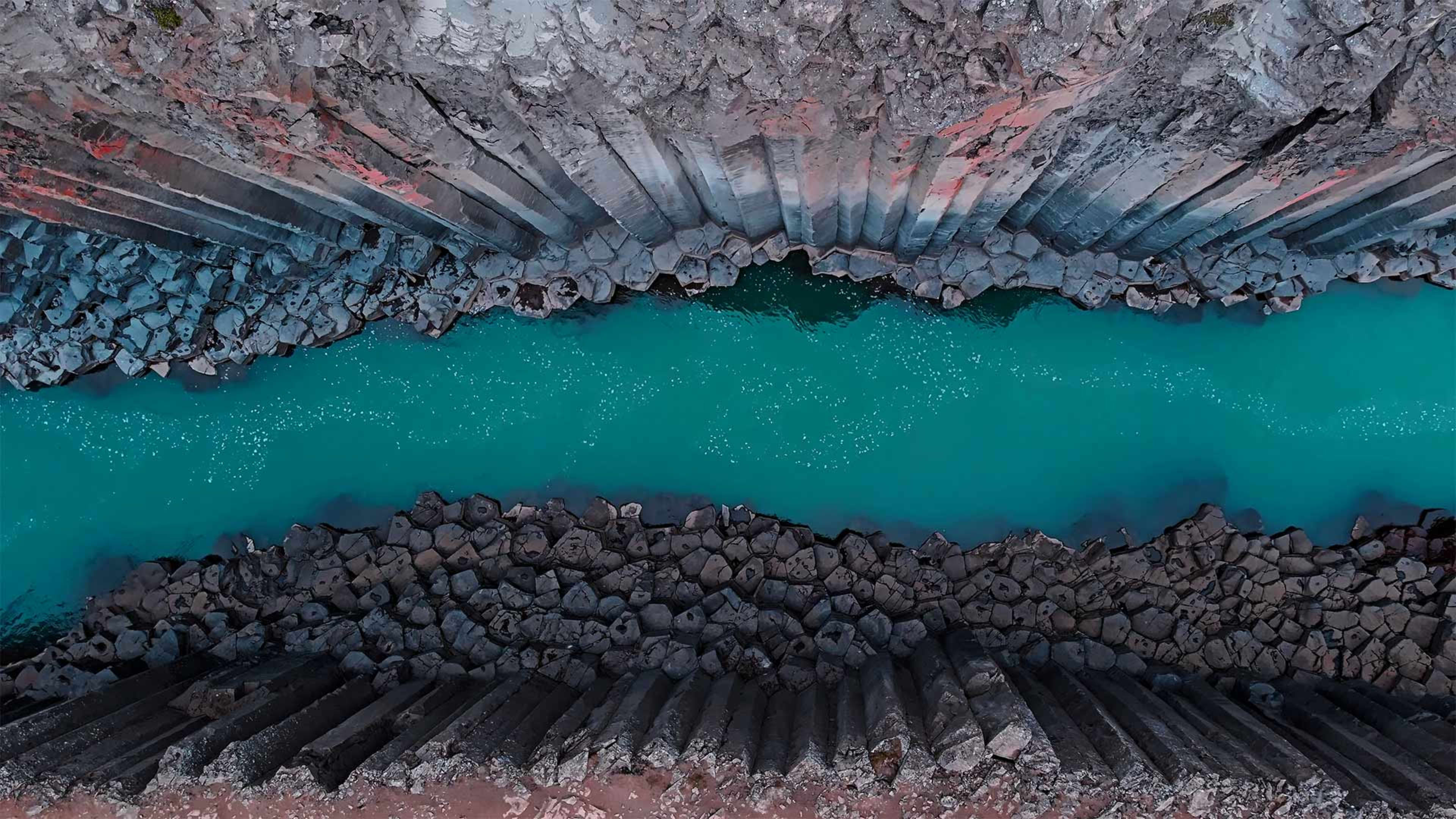
Columnar basalt forms when lava cools slowly and contracts, fracturing into regular polygonal columns, typically five or six-sided. The columns at Stuðlagil are tightly packed and rise in vertical rows from the canyon floor to the rim, forming continuous walls along both sides of the river. The river water, fed by glacial melt, runs a characteristic blue-green colour that contrasts with the dark grey of the basalt, particularly in summer when flow is more stable and visibility is clearest.
The canyon became known internationally after photographs taken following the dam's completion circulated widely. It is now one of the most photographed locations in east Iceland and attracts visitors specifically for landscape photography.
The Two Sides of the Canyon
Stuðlagil can be approached from the east bank or the west bank of the Jökla river, and the two sides offer different experiences.
The east bank gives access to the canyon floor via a hiking trail that descends to the river level. From here visitors can stand directly among the columns and look along the gorge from within it. The trail is uneven and rocky in places and takes around 45 minutes to an hour return depending on how far along the canyon floor you walk. Sturdy footwear is essential. The hike involves some elevation change and the path can be muddy after rain.
The west bank has a marked car park and viewpoint platform that gives an elevated view down into the canyon from above. This is the quicker option and accessible without a significant hike, making it practical for those with limited time or mobility. The west bank viewpoint is well signposted from the valley road.
Getting to Stuðlagil
Stuðlagil is in the Jökuldalur valley, reached by turning off Route 1 north of Egilsstaðir onto Route 923. The drive from Egilsstaðir takes around 20 minutes. The valley road leads into Jökuldalur and the canyon is signposted from there. The west bank car park and the east bank trailhead are both signposted within the valley. The roads are unsealed and can be rough, particularly the track to the east bank, but are generally manageable by standard vehicles in dry conditions. Check road conditions before visiting in spring when snowmelt can make tracks muddy or impassable.
From Reykjavík, Stuðlagil is approximately 650 kilometres along the Ring Road, around six and a half hours. It fits naturally into a Ring Road itinerary as a stop near Egilsstaðir.
When to Visit
Summer is the most practical time to visit. The river runs at a lower, more stable level, the turquoise colouring is most pronounced, and the east bank trail is in its best condition. The canyon is accessible in other seasons but the track to the east bank can be affected by snow and mud from late autumn through spring, and shorter daylight hours in winter limit the time available for the hike.