Geology and Formation
Hekla sits near the southern end of Iceland's eastern volcanic rift zone, at a junction between rift and transform fault systems. Unlike typical cone-shaped stratovolcanoes, it forms an elongated ridge running roughly east-northeast to west-southwest along a 5.5-kilometre fissure called Heklugjá, which is often active along its full length during major eruptions. This shape places it among a small number of volcanoes worldwide with this distinctive profile. The broader Hekla volcanic system includes the Vatnafjöll group, a 40-kilometre-long series of basaltic fissures and crater rows to the southeast.
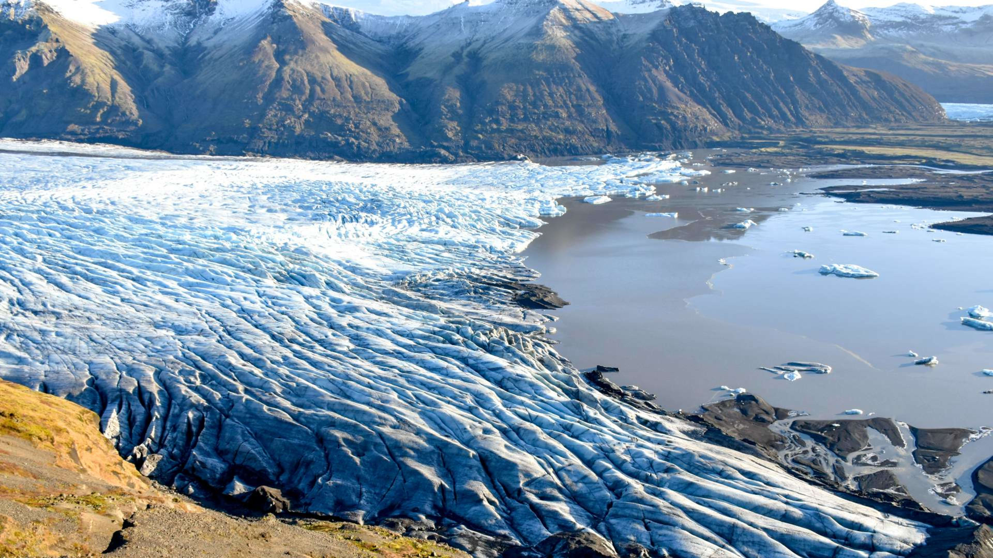
Hekla's eruptions produce tephra with high fluorine content, which is toxic to livestock and vegetation in the short term but weathers into fertile soil over time. The volcano has generated one of the largest volumes of lava of any volcano in the world over the past thousand years, and approximately ten percent of Iceland's landmass has been formed by its lava flows.
Eruption History
Hekla's first recorded eruption, in 1104, was one of the largest in Icelandic history. It covered more than half the country in volcanic ash and forced the abandonment of farms as far as 70 kilometres away in the Þjórsárdalur valley. The event established Hekla's reputation across medieval Europe, where scholars and theologians described it as an entrance to the underworld, giving rise to the name it still carries in popular culture today.
Since 1104, major eruptions have followed at irregular intervals. The 1947 eruption sent lava bombs as far as 32 kilometres and ash as far as Finland, continuing for 13 months. Later eruptions in 1970, 1980, 1981, 1991, and 2000 followed a pattern of roughly decadal activity. Scientists have noted a general correlation between the length of dormancy and the size of subsequent eruptions: the longer Hekla rests, the more powerful its next event tends to be.
Current Status and Monitoring
Hekla has not erupted since 2000 and is closely monitored by the Icelandic Meteorological Office. Deformation measurements and GPS data indicate that the volcano's shallow magma chambers have been filling since the last eruption, and it is considered overdue based on its post-1970 pattern of roughly decadal eruptions.
One of Hekla's most significant characteristics is the very short warning it typically gives before erupting. Since instrumental monitoring began in the 1970s, pre-eruptive seismic signals have been detected only tens of minutes before eruptions began. This makes summit access particularly risky, as there is little time to descend safely if activity begins. The Icelandic Meteorological Office continuously monitors seismicity, ground deformation, and gas emissions around the volcano and issues alerts if conditions change. Always check current status before visiting the area.
Visiting Hekla
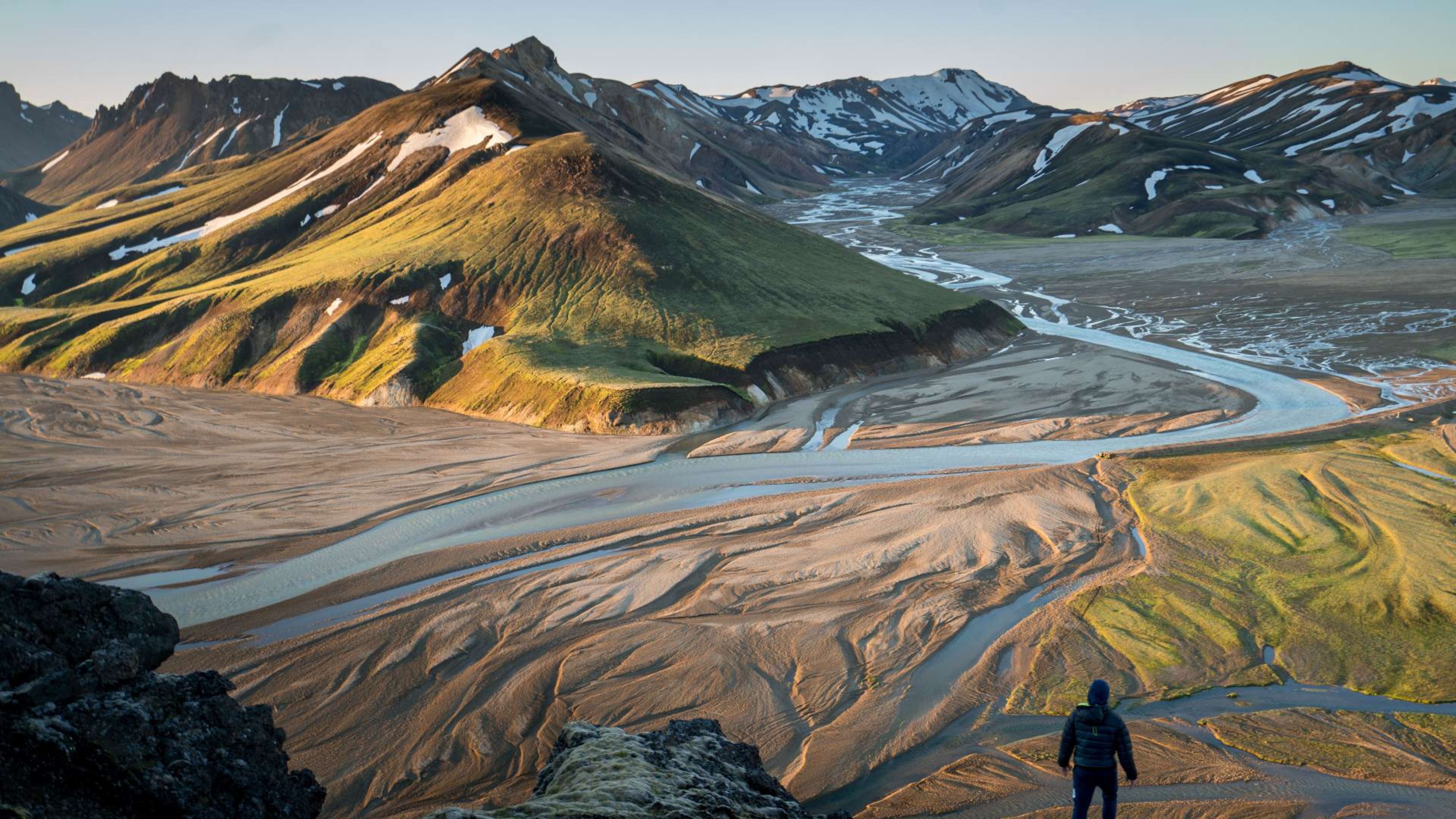
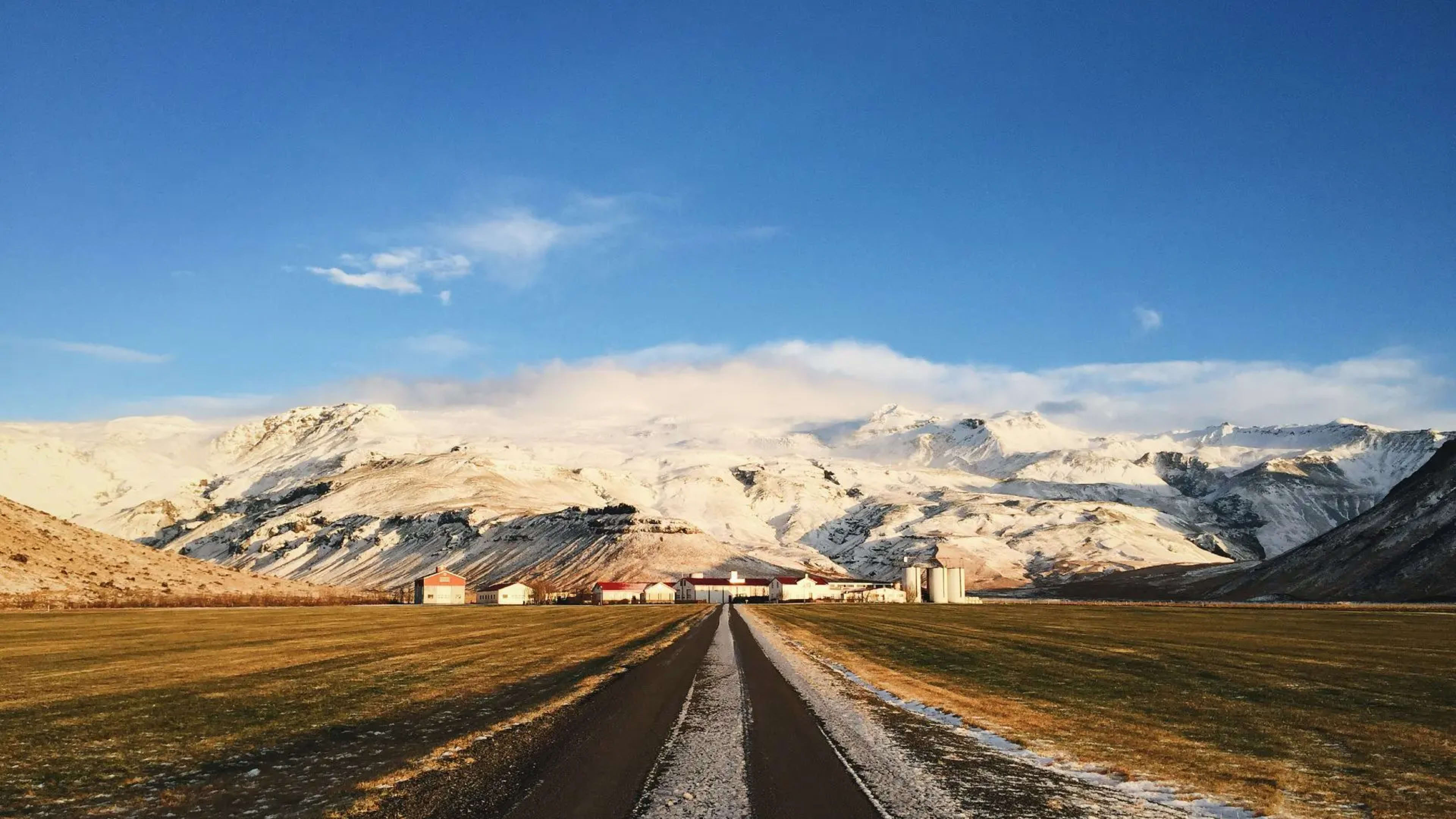
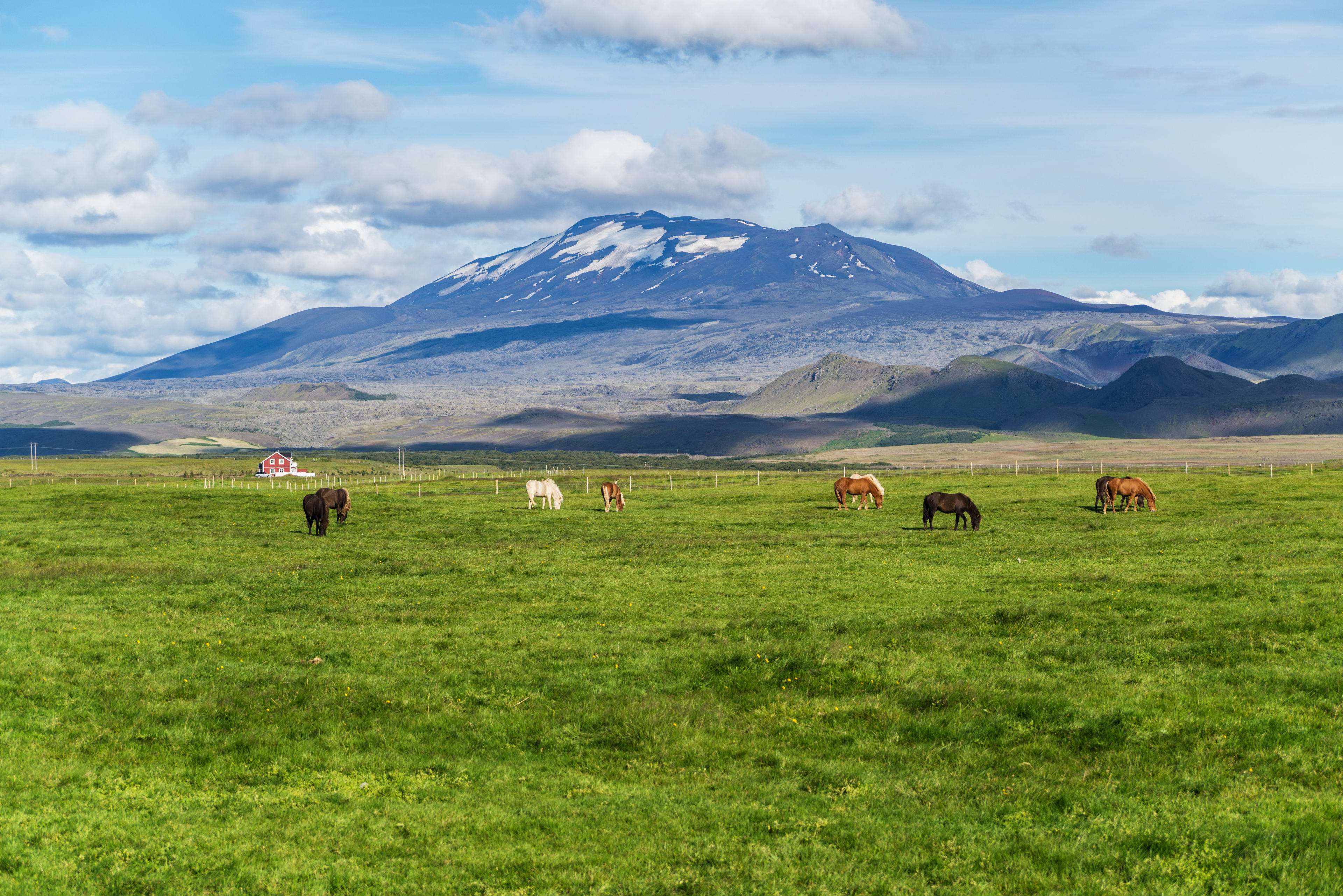
Hekla is approximately 110 kilometres east of Reykjavík, roughly a two-hour drive via Route 1 and Route 26. The Hekla Center at Leirubakki farm is the main visitor facility in the area and provides information on the volcano's history and current monitoring status. On clear days the volcano's elongated ridge is visible from a considerable distance across the southern highlands.
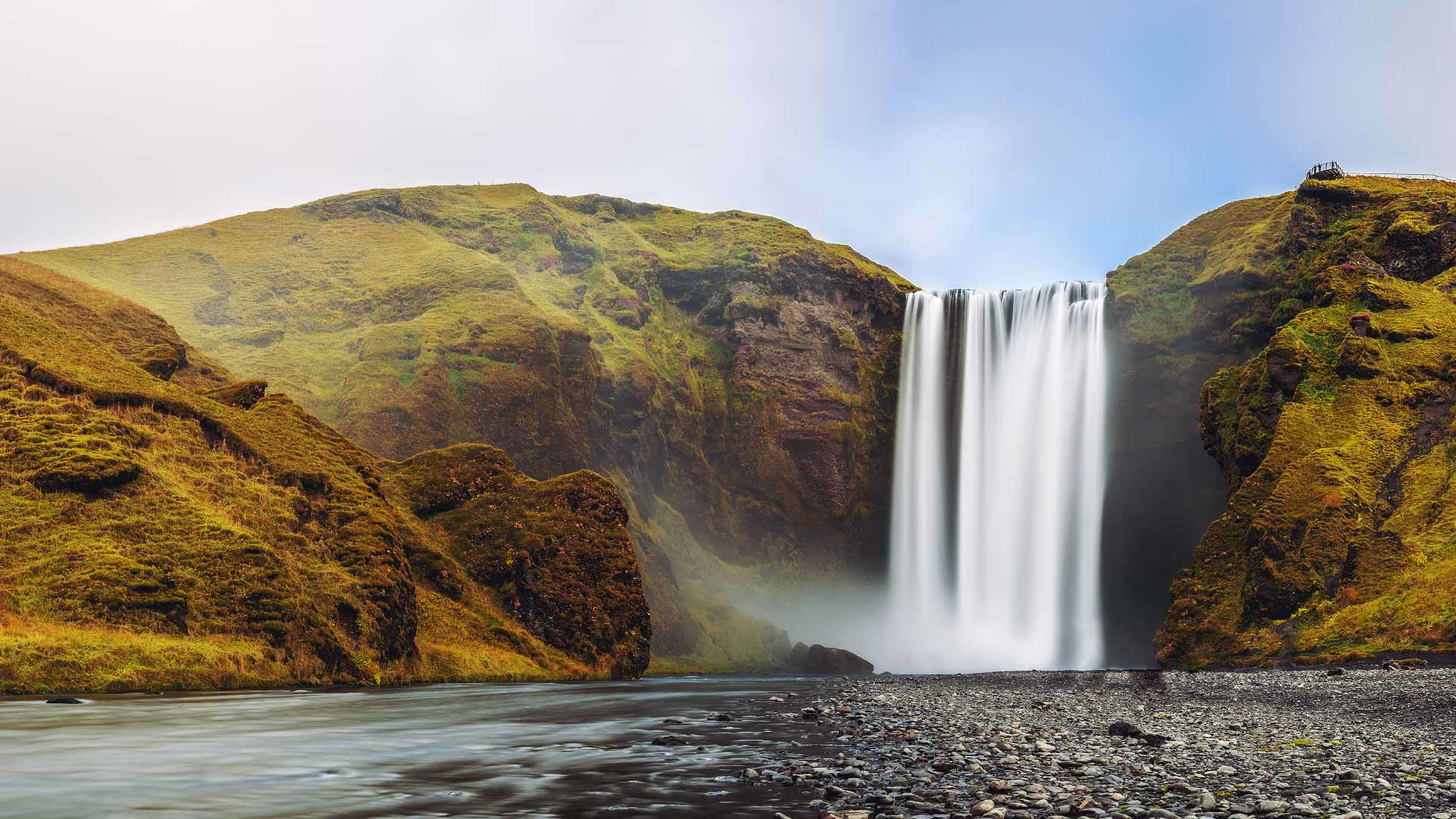
Summit hiking is not recommended given the short warning window before potential eruptions. The surrounding area, however, offers extensive walking in lava fields, with trails through the black volcanic terrain that has accumulated from centuries of eruptions. The nearby Þjórsárdalur valley includes Háifoss, Iceland's second-highest waterfall at 122 metres, and the twin falls of Hjálparfoss, both practical additions to a day trip in the area.
Guided Tours to Hekla
Super jeep tours are the most common way to explore the Hekla area with access to terrain not reachable by standard vehicles, including routes across the lava fields on the volcano's slopes. Tours operate from Reykjavík and typically take a full day. They combine volcano access with nearby attractions in the southern highlands and are led by guides familiar with the terrain and current volcanic conditions. For anyone visiting the Hekla area, a guided tour is the safer and more informative option compared to independent access to the slopes.