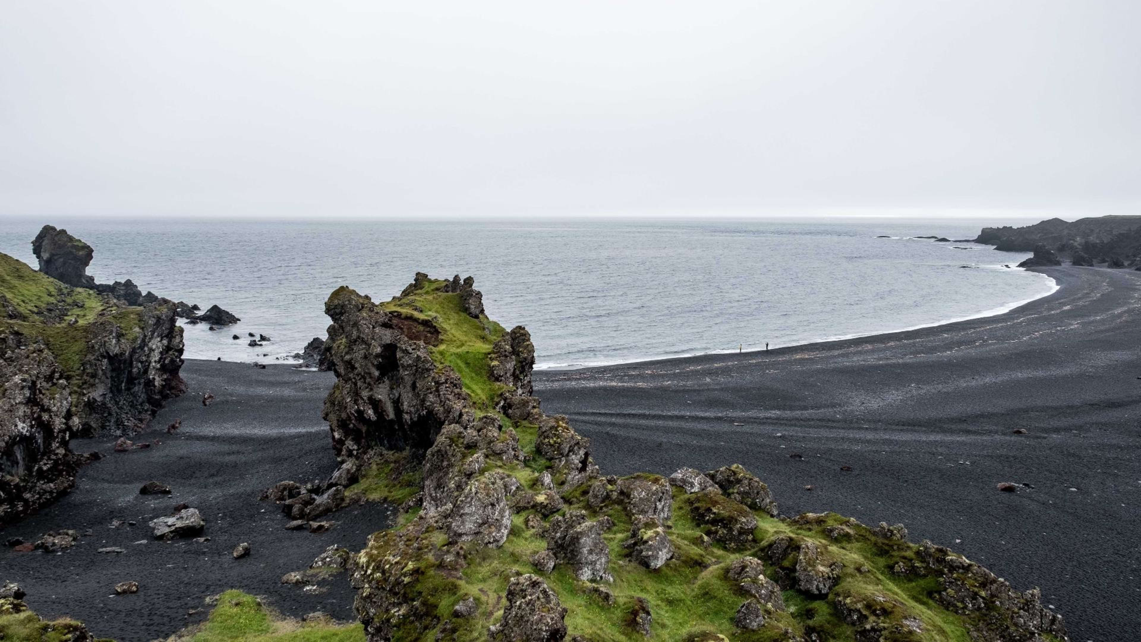
Dritvík Cove, Iceland's busiest seasonal fishing station
Dritvík is a sheltered cove on the western edge of the Snæfellsnes peninsula, reached by a short trail from the Djúpalónssandur car park. From the mid-16th century to the early 20th century it operated as one of Iceland's most active seasonal fishing stations, with up to 60 rowing boats and several hundred fishermen working from the cove each season. Today the site is preserved within Snæfellsjökull National Park, with stone ruins, fishing-era relics and the famous lifting stones nearby at Djúpalónssandur.
For roughly three centuries, Dritvík was the most active fishing cove on the Snæfellsnes peninsula. From the mid-1500s through to the early 1900s, fishermen gathered here each season to row open boats into the North Atlantic in pursuit of cod. At the height of the operation, between 50 and 60 rowing boats launched from the cove daily, carrying crews that totalled between 200 and 600 men depending on the season. Stone walls from their shelters, the ruins of fish-drying enclosures, and remnants of landing ramps are still visible along the shoreline.
The name Dritvík translates loosely as Excrement Cove, a name said to derive from early settlers arriving by ship and using the sheltered bay for obvious purposes. The cove's natural harbour, formed by the rock formations Brjotur and Barðarskip that rise from the water like gateposts, made it well-suited for landing small boats, even if the surrounding lava landscape offered little else in the way of comfort.
The lifting stones of Djúpalónssandur
On the path between the Djúpalónssandur car park and Dritvík Cove stand four smooth rounded stones known as the áþreystingarsteinar, or lifting stones. These were used to test the physical fitness of men seeking work on the fishing boats. The stones are named and weighted as follows: Amlóði (Weakling) at 23 kg, Hálfdrættingur (Weakling's Claim) at 54 kg, Hálfsterkur (Half Strong) at 100 kg, and Fullsterkur (Fully Strong) at 154 kg. A man had to lift at least the third stone, Hálfsterkur, to qualify for a crew position. Most visitors today find even the lightest stone difficult to move.
The wreck of the Epine
On 13 March 1948 the British fishing trawler Epine GY7 was caught in a storm off the Snæfellsnes coast and ran aground on the reefs east of Dritvík. Of the 19 crew members on board, 14 were lost. Five survived thanks to local rescuers who managed to fire a lifeline to the stricken vessel. The rusted fragments of the Epine are still scattered across the beach at Djúpalónssandur, where they are protected as a historical monument. Visitors are asked not to touch or remove any of the wreck remains.
The lava landscape and coastal trail
The trail from Djúpalónssandur to Dritvík crosses a lava field formed by eruptions from Snæfellsjökull and takes roughly 20 to 30 minutes on foot. The lava has weathered into dramatic formations, some of which carry names from local folklore: Tröllakirkja (Troll Church) and Bárðarskip (the Ship of Bárður) are among the most visited. The cove itself is reached via a descent through the rock, and the black shoreline looks out toward the open Atlantic. The ocean currents here are strong and the waves unpredictable; visitors should stay away from the water's edge.
Djúpalónssandur beach, connected to Dritvík, takes its name from a small freshwater lagoon called Djúpalón that sits just behind the shoreline. The black pebbles that cover the beach are protected within the national park and cannot be removed.