Geography
Where is Iceland located?
Iceland is located in the middle of the North Atlantic Ocean, directly below the Arctic Circle (66°N).

The shortest distances to Iceland’s nearest neighbors are about 280 km (175 mi) to Greenland, 400 km (250 mi) to the Faroe Islands, 800 km (500 mi) to Scotland, and 950 km (590 mi) to Norway. By air, Iceland is about 3 hours from Western Europe and 5 hours from North America.
Fun fact: Iceland sits on the Mid-Atlantic Ridge, where the Eurasian and North American tectonic plates are drifting apart. It’s the only place in the world where you can see this plate boundary on land.
How big is Iceland?
Although Iceland is pretty small population wise, it covers a total area of 103,000 km² (39,768 square miles). This makes Iceland the world’s 18th largest island and the 2nd largest in Europe after Great Britain.
Iceland’s meandering coastline is around 6,000 km (3,700 mi) long. The distance between the north and south coasts is around 300 km (190 mi), between east and west around 500 km (310 mi).
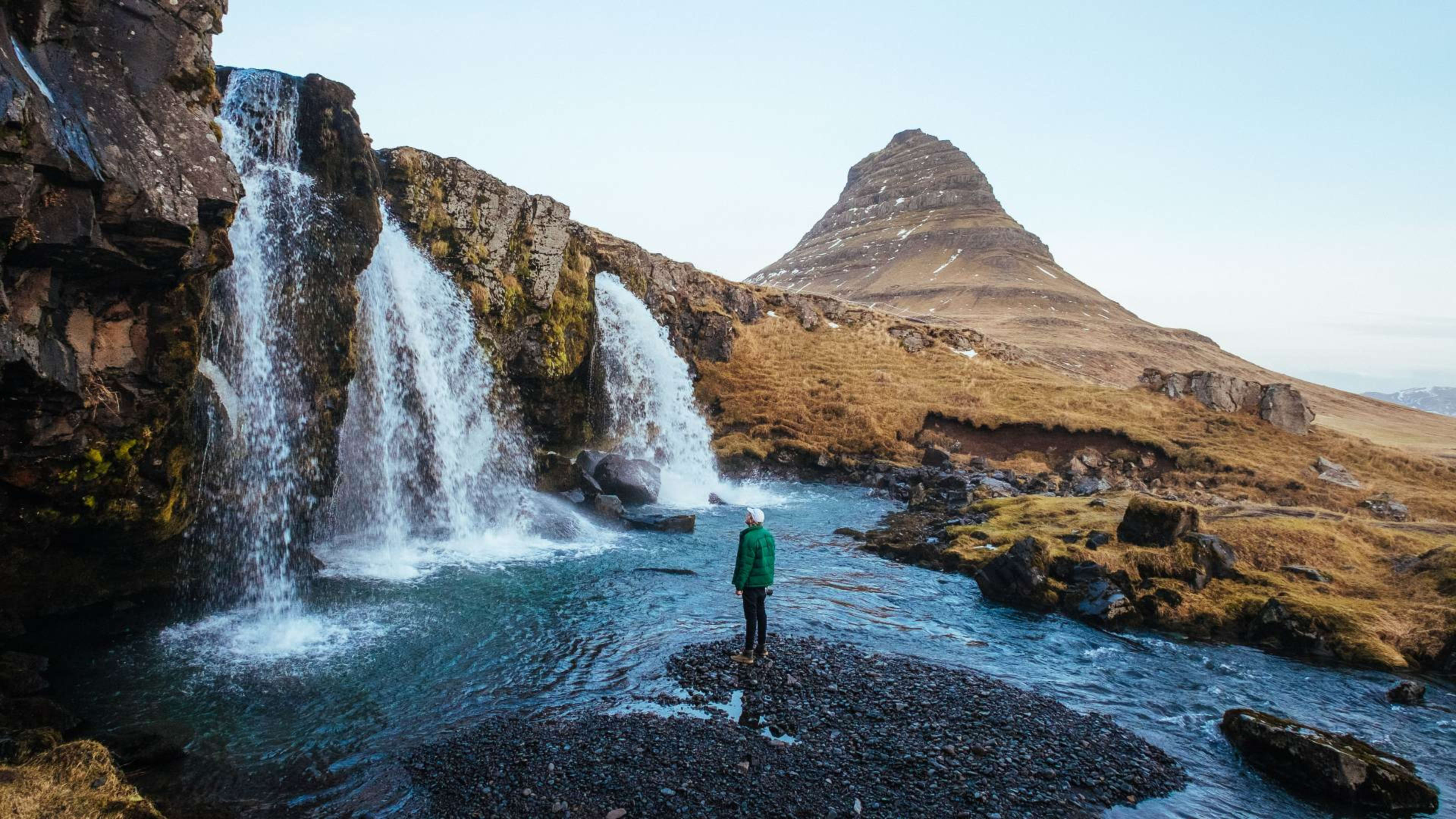
- Get the lay the of land with our guide to Iceland’s nature & landscape.
How long does it take to fly to Iceland?
It takes around 2–3 hours to fly to Iceland from Europe and around 5–6 hours from the east coast of North America.
Fun fact: Due its Mid-Atlantic location, Iceland was used as a meeting place for nuclear disarmament talks between Ronald Reagan and Gorbachev during the Cold War.
Population
What is the population of Iceland?
Iceland has a population of just under 400,000, similar to Honolulu, Hawaii or Coventry, England. This makes it one of the smallest independent nations in the world. For the most up-to-date population statistics, please visit Registers Iceland.
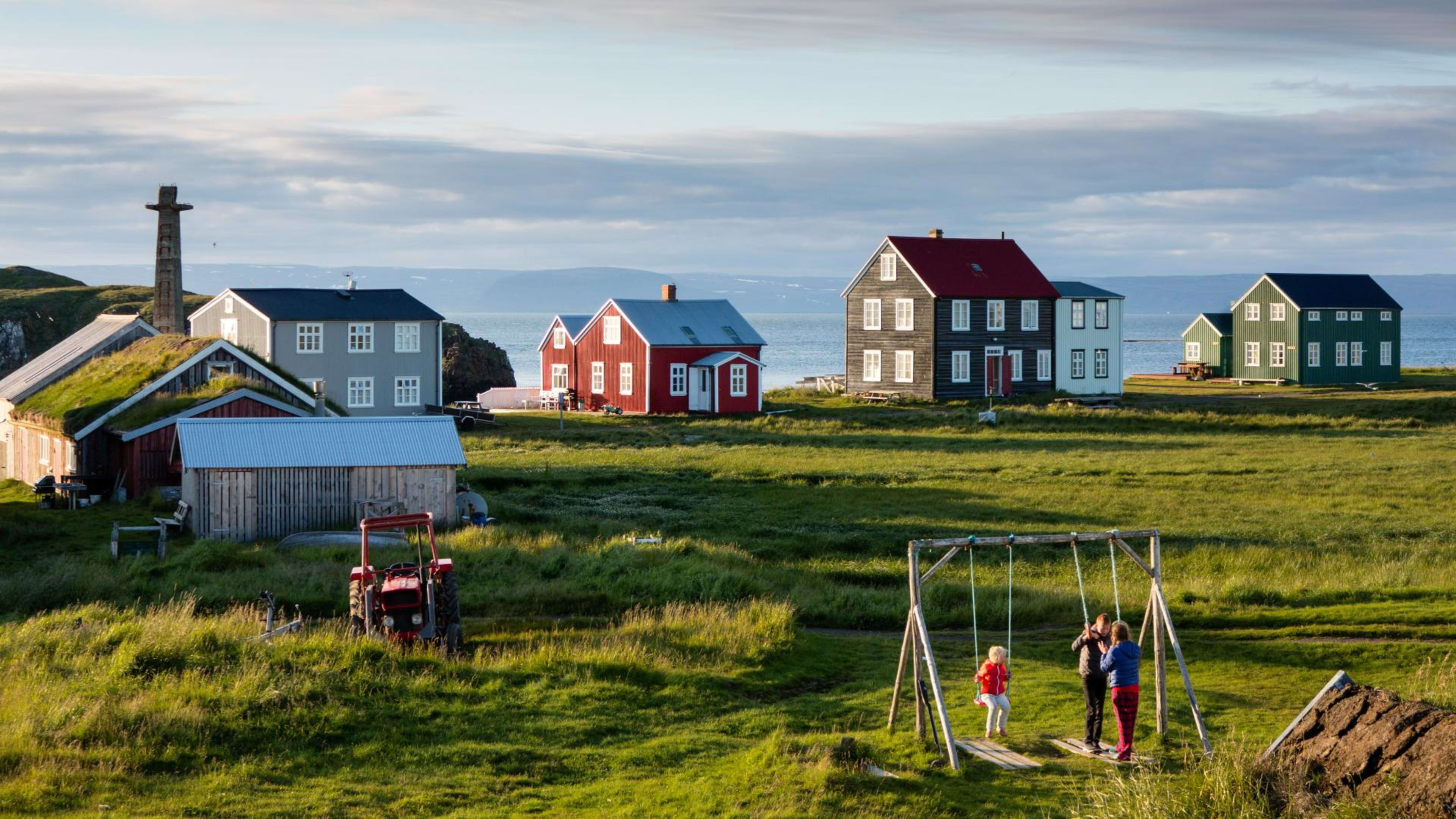
Iceland is the least densely populated country in Europe. Over half of the inhabitants live in the metropolitan area in and around Reykjavík. About 75% of the land is uninhabited, consisting mostly of sand and stone deserts, lava fields, and glaciers.
- Learn more about the locals with our guide to Icelandic people & culture.
What are the biggest towns and cities in Iceland?

The 10 largest cities and towns in Iceland are:
| Place | Region | Population (2021) | |
|---|---|---|---|
| 1 | Reykjavík (capital) | Capital Area | 132,000 |
| 2 | Kópavogur | Capital Area | 38,000 |
| 3 | Hafnarfjörður | Capital Area | 30,000 |
| 4 | Keflavík/Njarðvík | Suðurnes | 19,500 |
| 5 | Akureyri | North Iceland | 19,000 |
| 6 | Garðabær | Capital Area | 15,000 |
| 7 | Mosfellsbær | Capital Area | 12,000 |
| 8 | Selfoss | South Iceland | 9,000 |
| 9 | Akranes | West Iceland | 7,500 |
| 10 | Seltjarnarnes | Capital Area | 4,700 |
- See small towns and quaint fishing villages on a Ring Road tour of Iceland.
Quick facts
Total area: 103,000 km² (39,768 square miles)
Inhabited area: approx. 25%
Area covered by glaciers: 7,250 km² (2,799 square miles)
Highest peak: Hvannadalshnjúkur – 2,110 m (6,923 ft)
Total population: 365,000
Capital area population: 240,000
Time zone: UTC+0 (Greenwich Mean Time, GMT) all year
- Get more fun facts from a local on a guided group tour of Iceland.
Ready to see these facts come to life? Browse Iceland vacation packages to find a trip that fits your travel style.